


1.74 Lot For Sale in Latimer County, OK!
Payment Options
Description
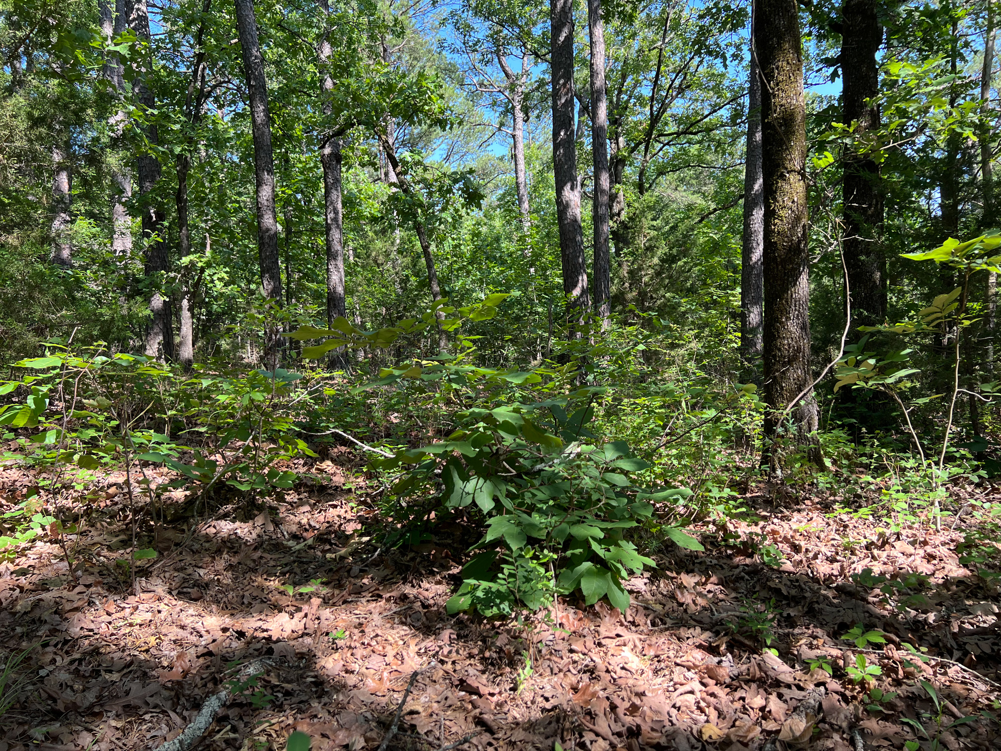
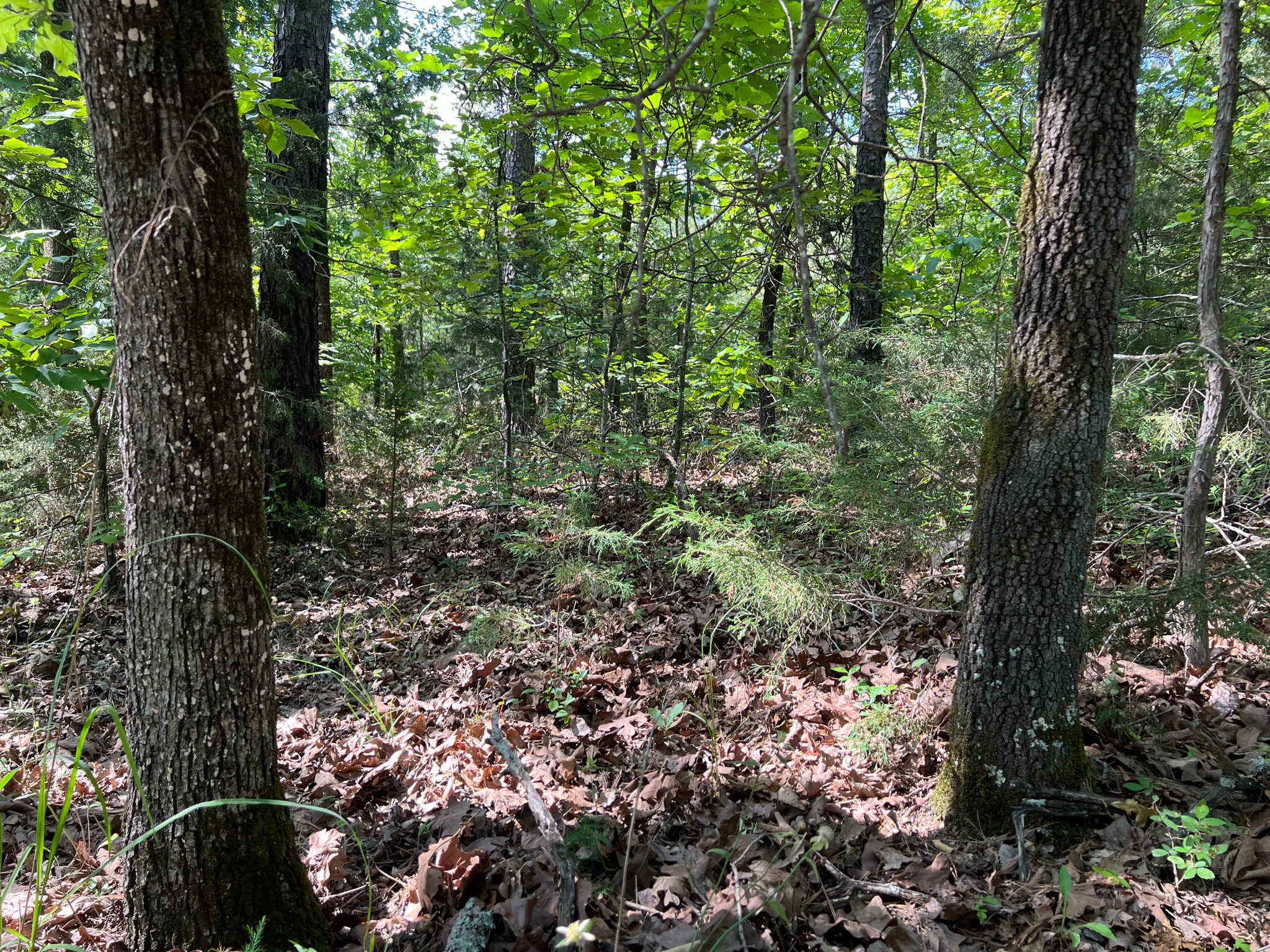
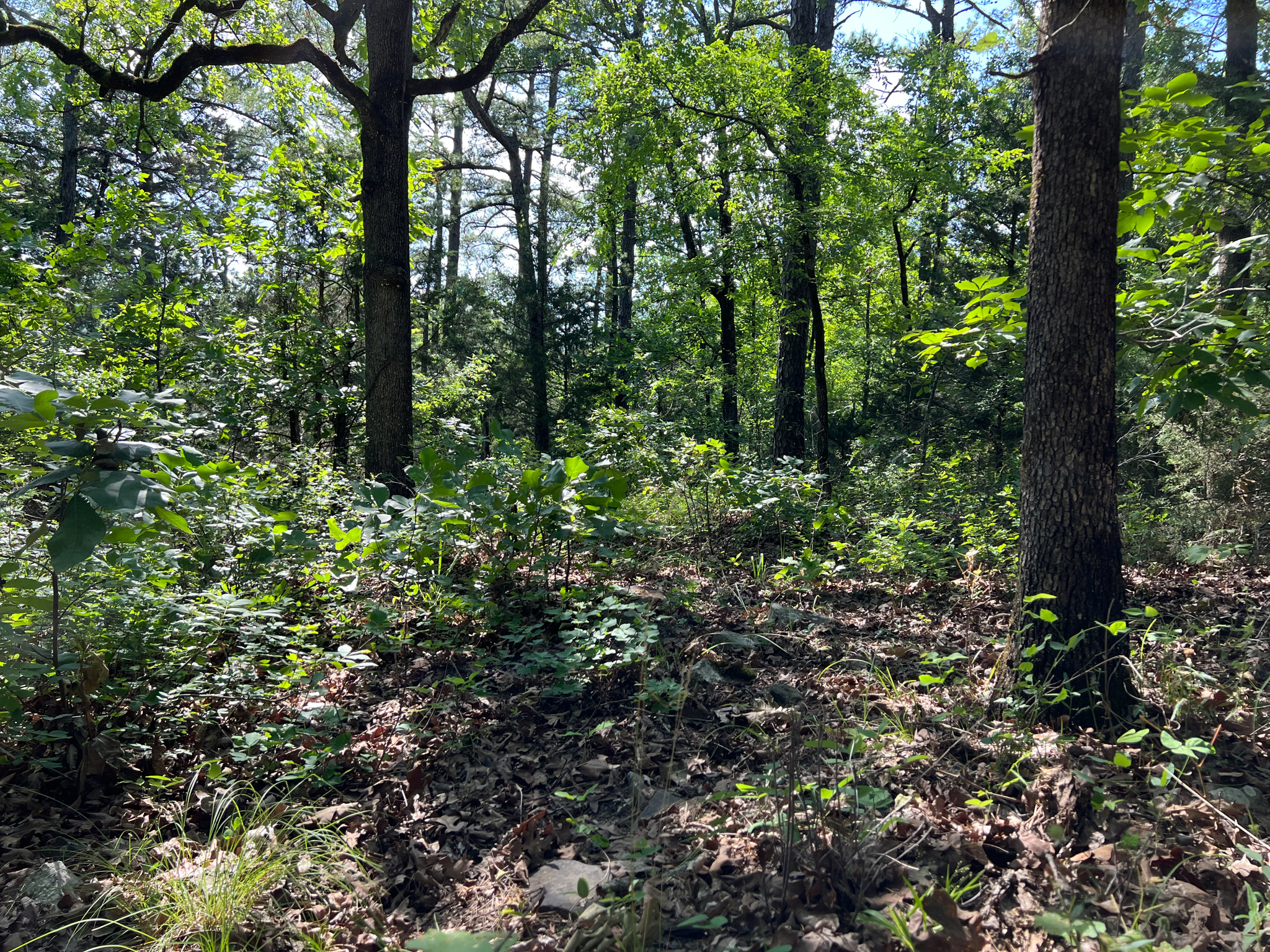
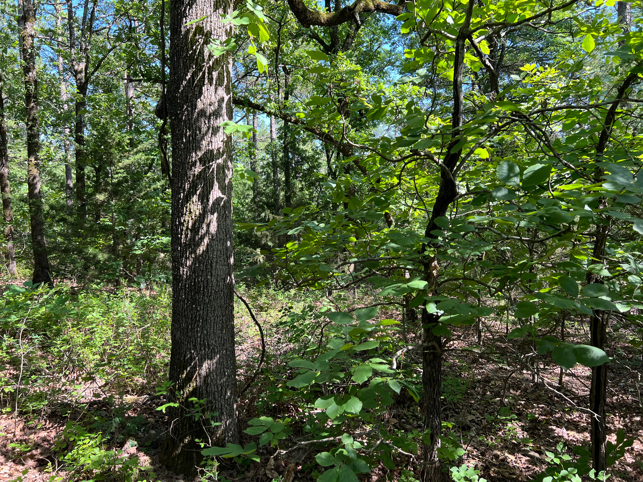
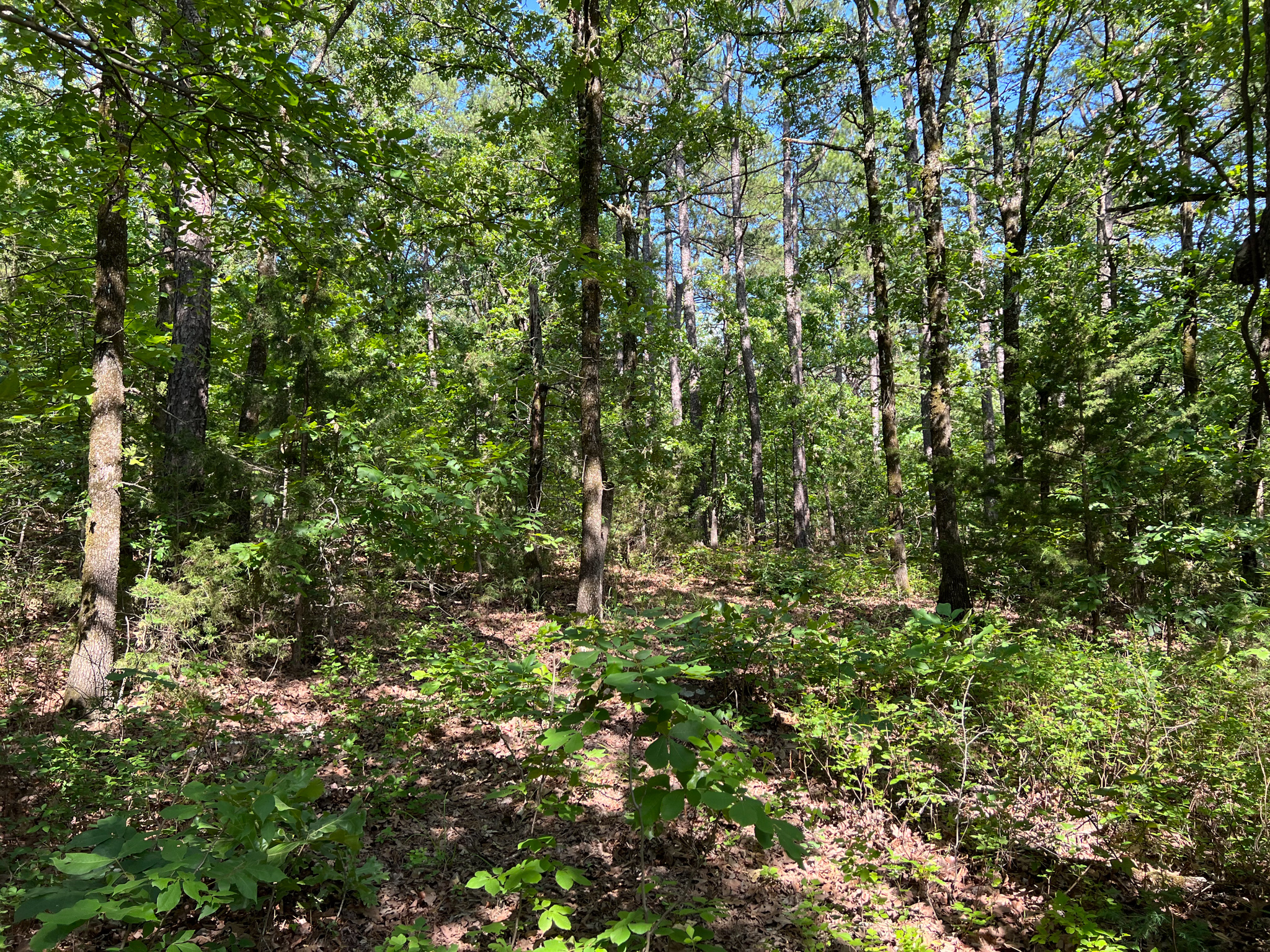
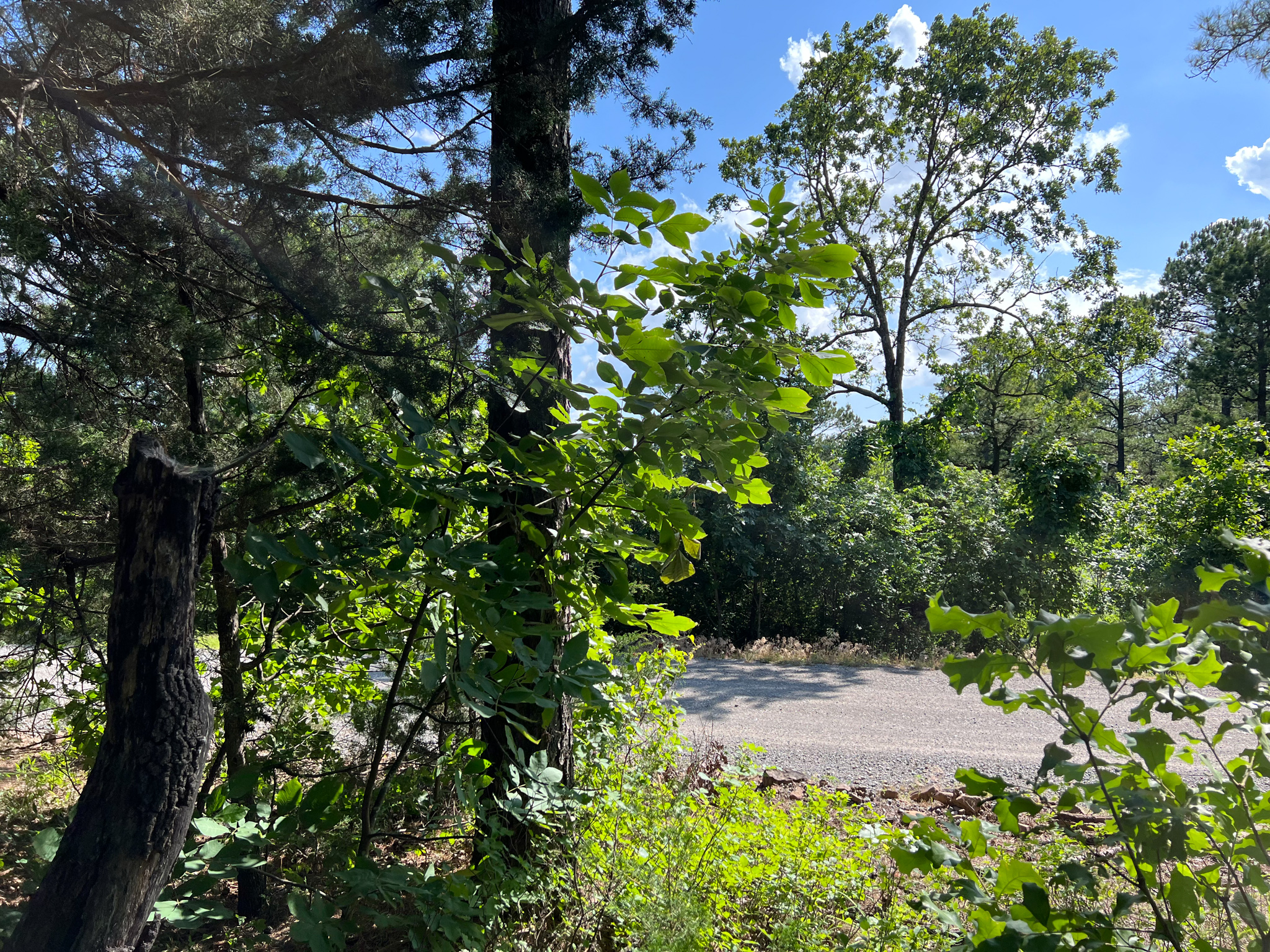
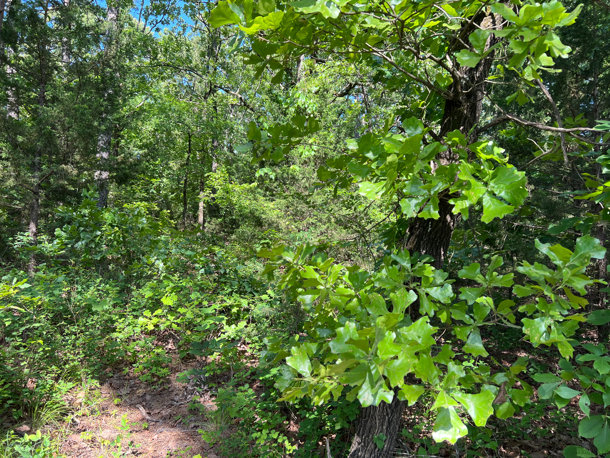
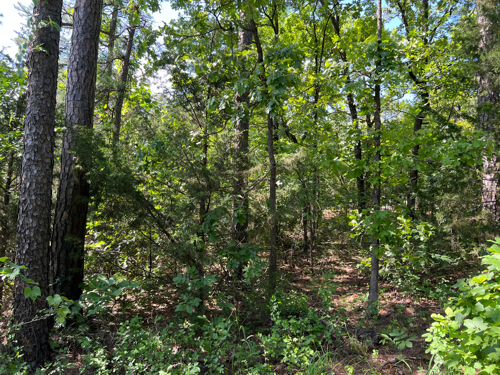
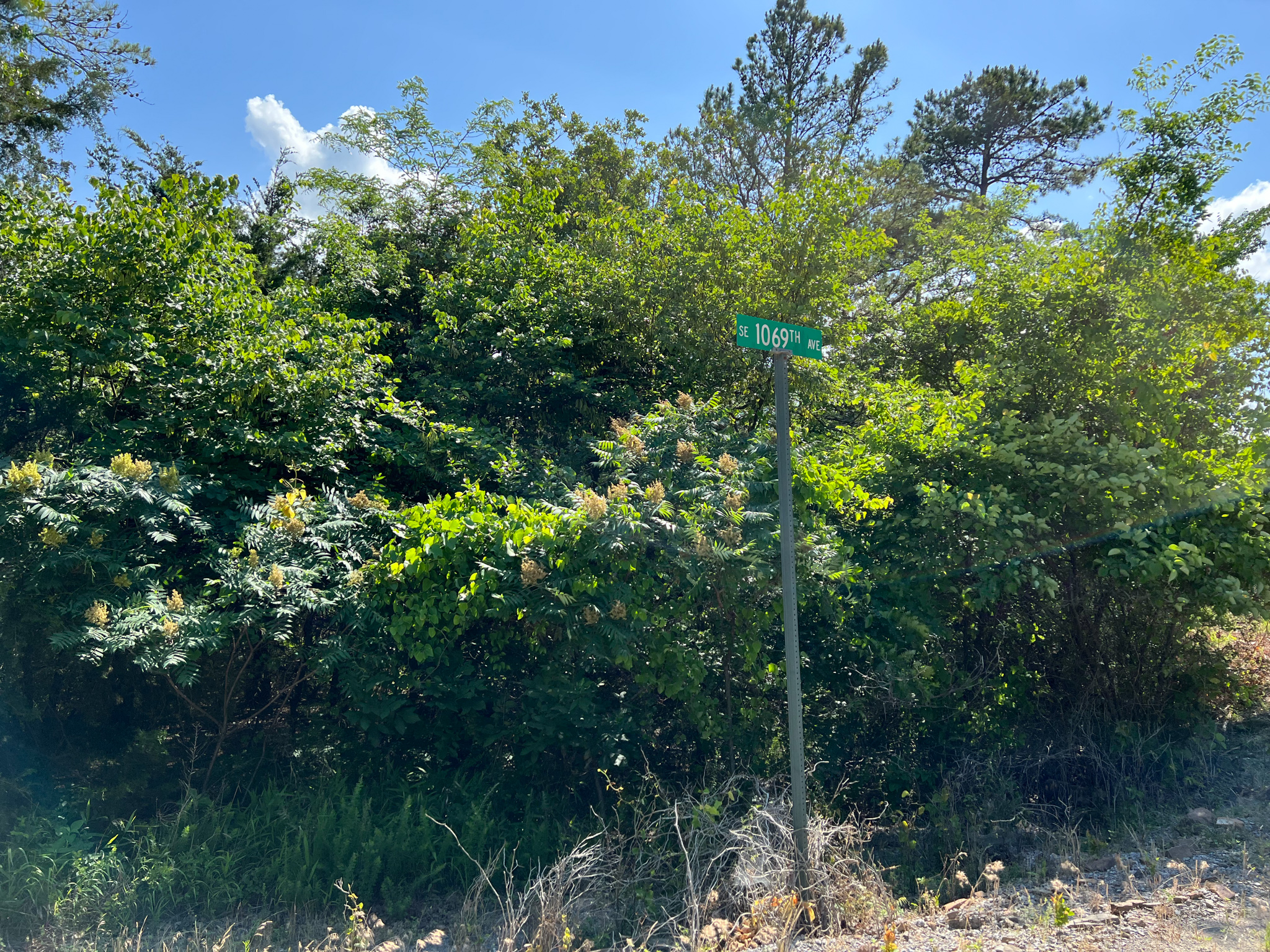
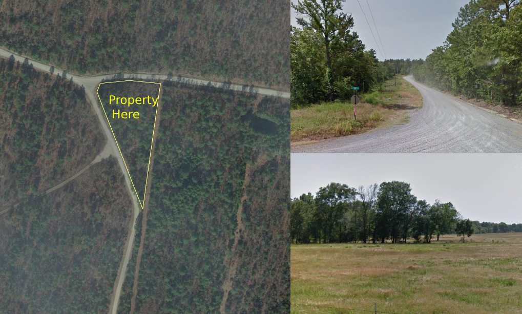
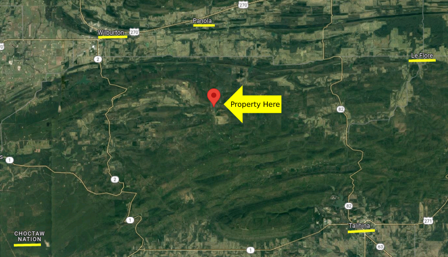
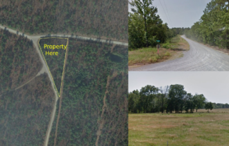
This highly desirable land is ready and waiting for you. Approximately 1.74 acres located in Panola City, Latimer County, OK! Build your dream home, hunt, and get away from the city, this property gives you opportunities and options!
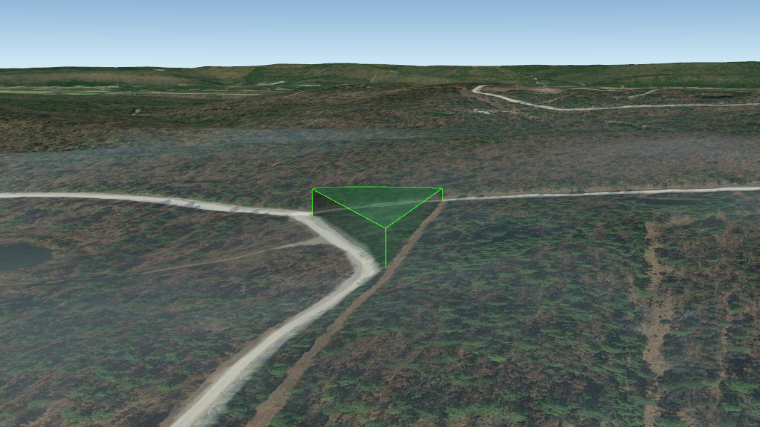
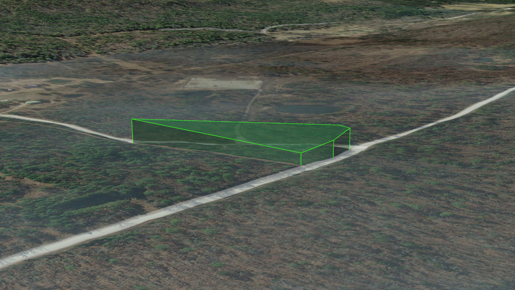
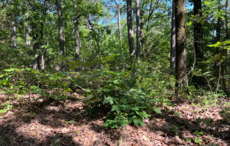
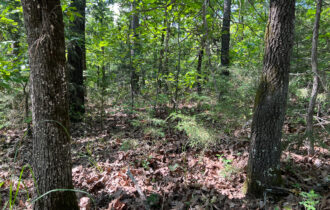
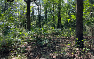
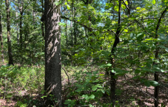
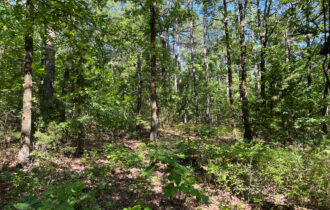
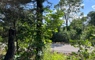
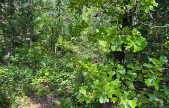
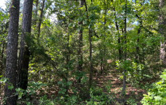
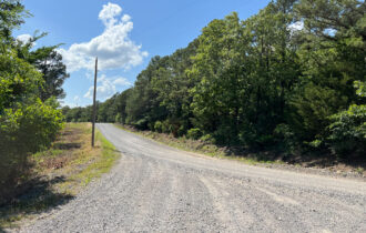
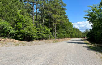
The terrain is gently rolling and wooded suitable for stunning views in most directions. Imagine the possibility of not being in the flood zone area and no zoning at all where the owner can do whatever they want to do on the property.
What are you waiting for? Reach out today before someone else takes it! Call or text us at 405-704-3654!
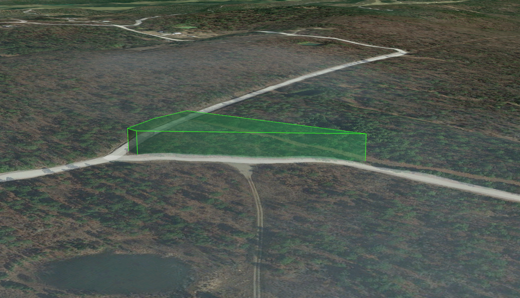
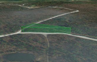
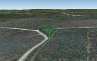
Click THIS LINK to view a 3D Interactive Map
Text or call us today at 405-704-3654!
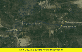
DRIVING DIRECTIONS
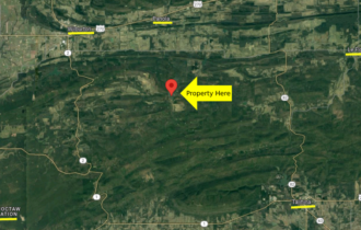
Starting Panola, Oklahoma 74578
Head north on NE 104th Rd/Panola Rd toward Gentry Ln
38 s (0.2 mi)
Turn left onto US-270 W
3 min (3.5 mi)
Follow 5 Lutie Rd and NE Lutie 5 to SE Cravens Rd
4 min (2.0 mi)
Turn right onto SE Cravens Rd
2 min (1.4 mi)
Take D4375 Rd to your destination
15 min (6.6 mi)
Nearby Attractions:
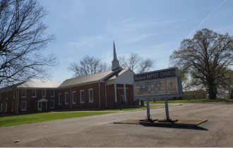
Southside Baptist Church (8.1 miles away)
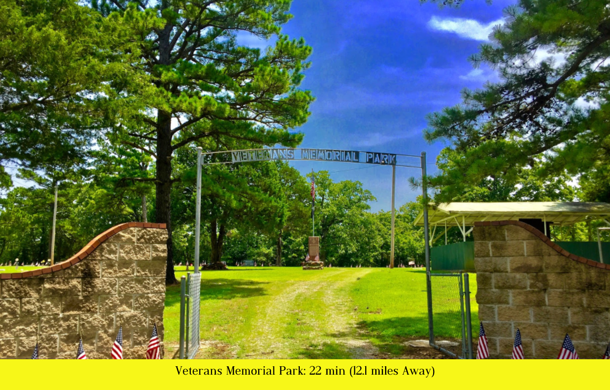
Veterans Memorial Park (12.1 miles away)
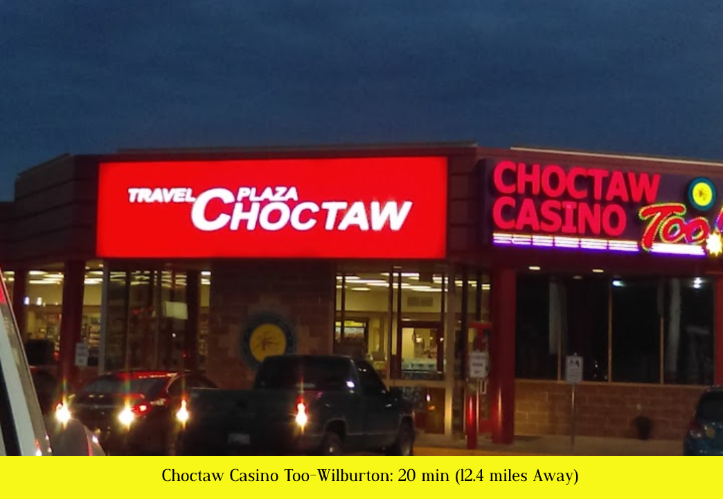
Choctaw Casino Too Wilburton (12.4 miles away)
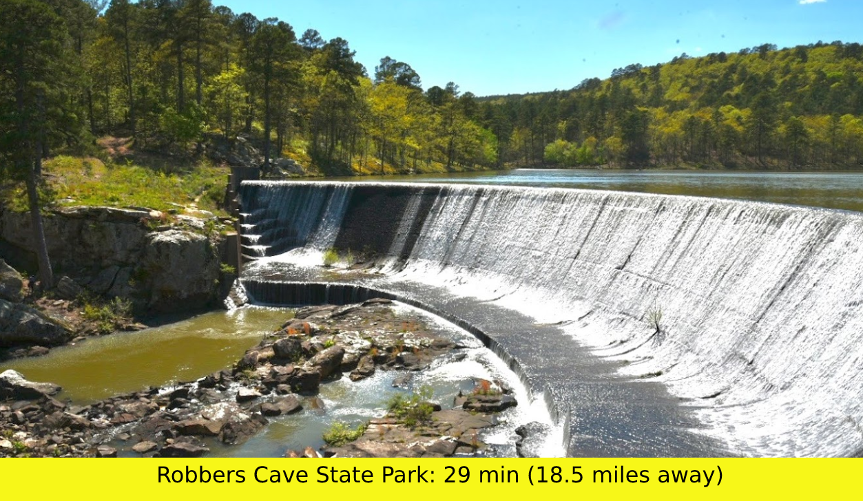
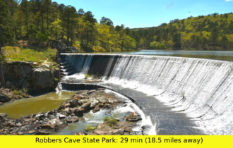
Robbers Cave State Park (18.5 miles away)
Property Details:
– Parcel #: 0000-04-04N-20E-1-006-00
– County: Latimer County, OK
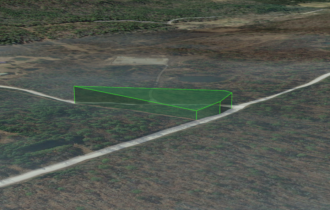
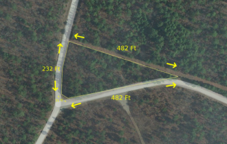
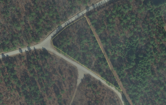
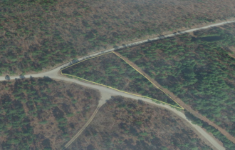
– Parcel Size: 1.74
– Location: Panola, Oklahoma 74559
– Legal Description: Tr Ne Lot 1 4-4-20,Beg Ne Cor N 89 59 30 W 117.84′,S64 44 53W 110.30′,S18 49 45W 35.44′ Alg Co Rd,S 14 07 27 E 50.22′,S 31 36 33 E 407.13′,N0 02 00 W 487.17′ Pob, 679/511
– GPS Center Coordinates: 34.854303, -95.200569
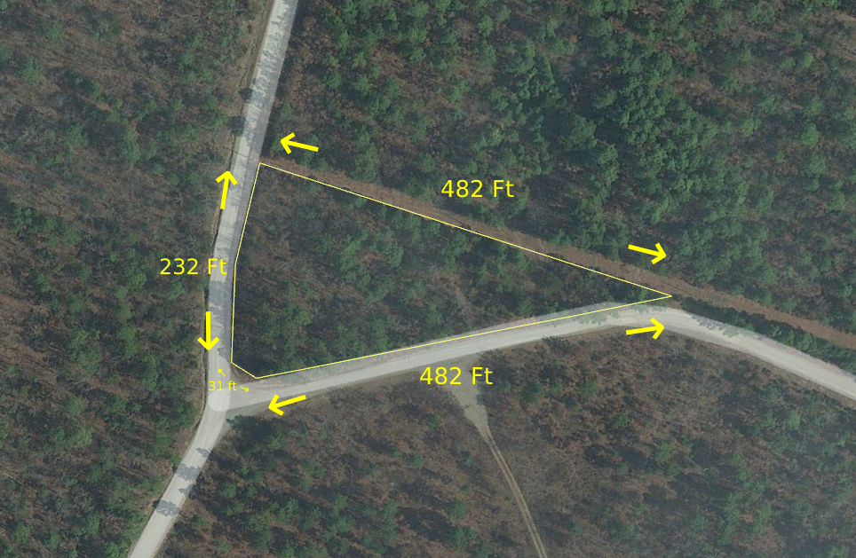
– Property Dimensions: 232 ft x 31 ft x 482 ft x 482 ft
– GPS Coordinates (4 Corners):
34°51’17.27″N 95°12’1.20″W
34°51’16.93″N 95°12’3.87″W
34°51’16.55″N 95°12’4.02″W
34°51’12.48″N 95°12’1.21″W
– Elevation: 951.4 feet
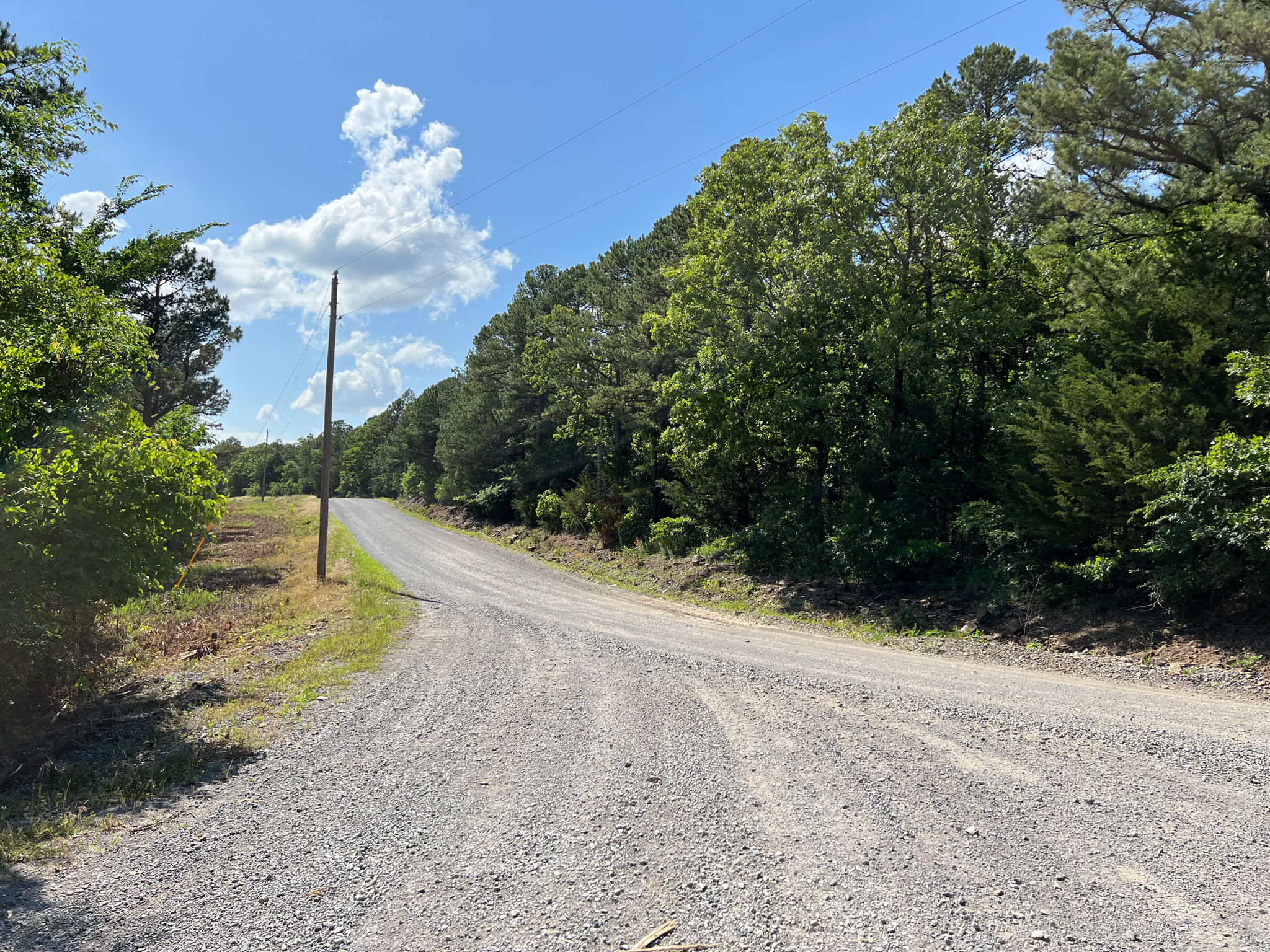
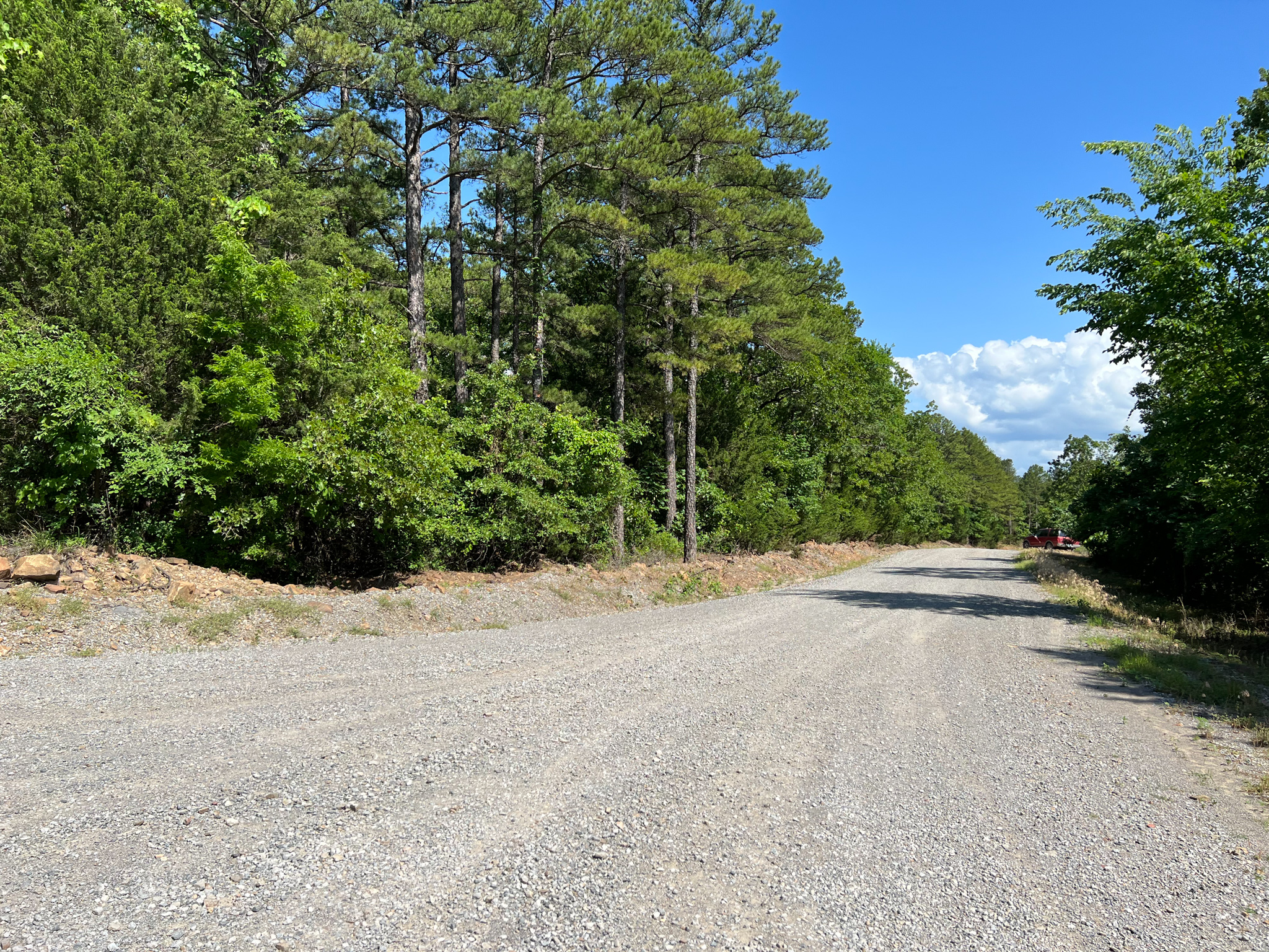
– Access to Property (Dirt or Paved): Dirt
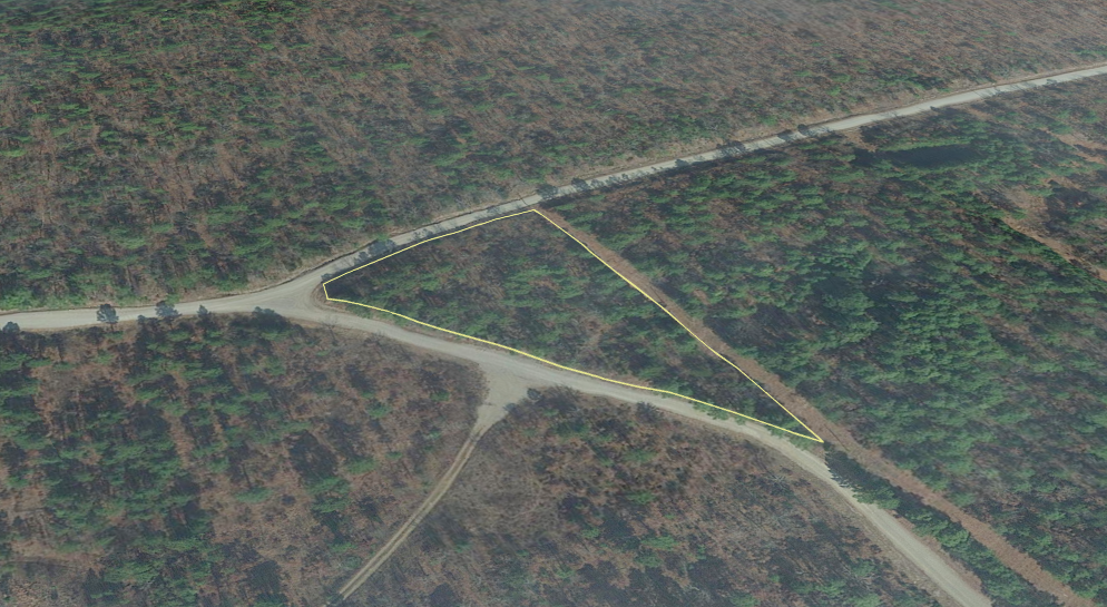
– Terrain: Wooded / Slope
– Zoning: No
– Time limit: There are no restrictions from the county.
– HOA: No
– Tax Amount: $11.00
– Flood zone: Unknown, no visible wetlands
– Water: Would need to dig a well
– Septic: Would need to install a septic system
– Electricity: Would have to contact Kiamichi Electric Co-Op (+19184652338) or Public Service Co of Oklahoma, AEP COOP, Etc
– RVs, mobile homes, tiny houses, or small cabins are allowed on the property
– Latimer County Website Information: https://www.countyzoning.org/ok-latimer-county/
– FEMA Flood Map Information: https://msc.fema.gov/portal/home
Disclaimer: The buyer is responsible for verifying all information with the County as to what can and can’t be done with the property. The buyer will need to work with the County to obtain the proper permits if needed. The buyer will also need to confirm the availability of any utilities needed or serviced on the property. The seller makes no warranties or representations about the land, its condition, or what can be built on the property.
Property Information
Parcel Size
1.74
State
Oklahoma
County
Latimer
Nearest Cities
Panola
Parcel #
0000-04-04N-20E-1-006-00
Address
TBD Panola, Oklahoma 74559
Legal Description
Tr Ne Lot 1 4-4-20,Beg Ne Cor N 89 59 30 W 117.84′,S64 44 53W 110.30′,S18 49 45W 35.44′ Alg Co Rd,S 14 07 27 E 50.22′,S 31 36 33 E 407.13′,N0 02 00 W 487.17′ Pob, 679/511 .
Features
Acres
1.74
Dimension
232 ft x 31 ft x 482 ft x 482 ft
County
Latimer
Access
Dirt Road
Power
Contact Kiamichi Electric Co-Op (+19184652338) or Public Service Co of Oklahoma, AEP COOP, Etc
Water
Well Water
Coordinates
34.854303, -95.200569
Zoning
Unknown
Elevation
951.4 feet
Maps
For more information, call or text (405) 704-3654