


2.1 acres in Latimer County, Oklahoma!
Payment Options
Description
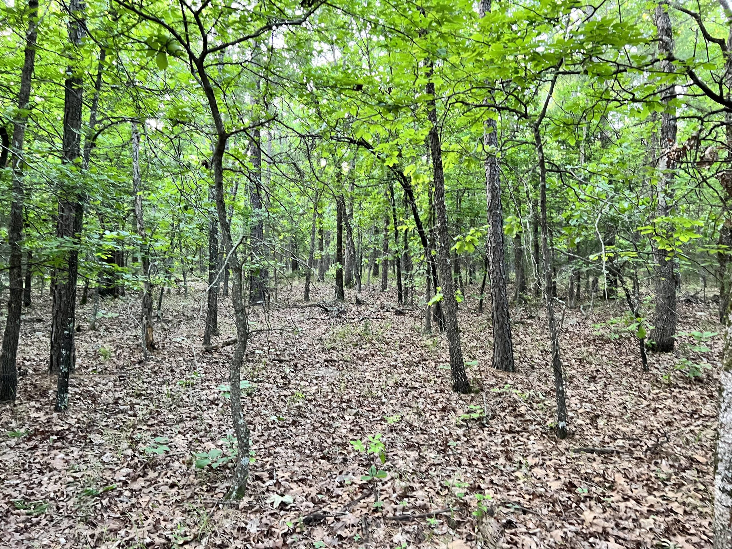
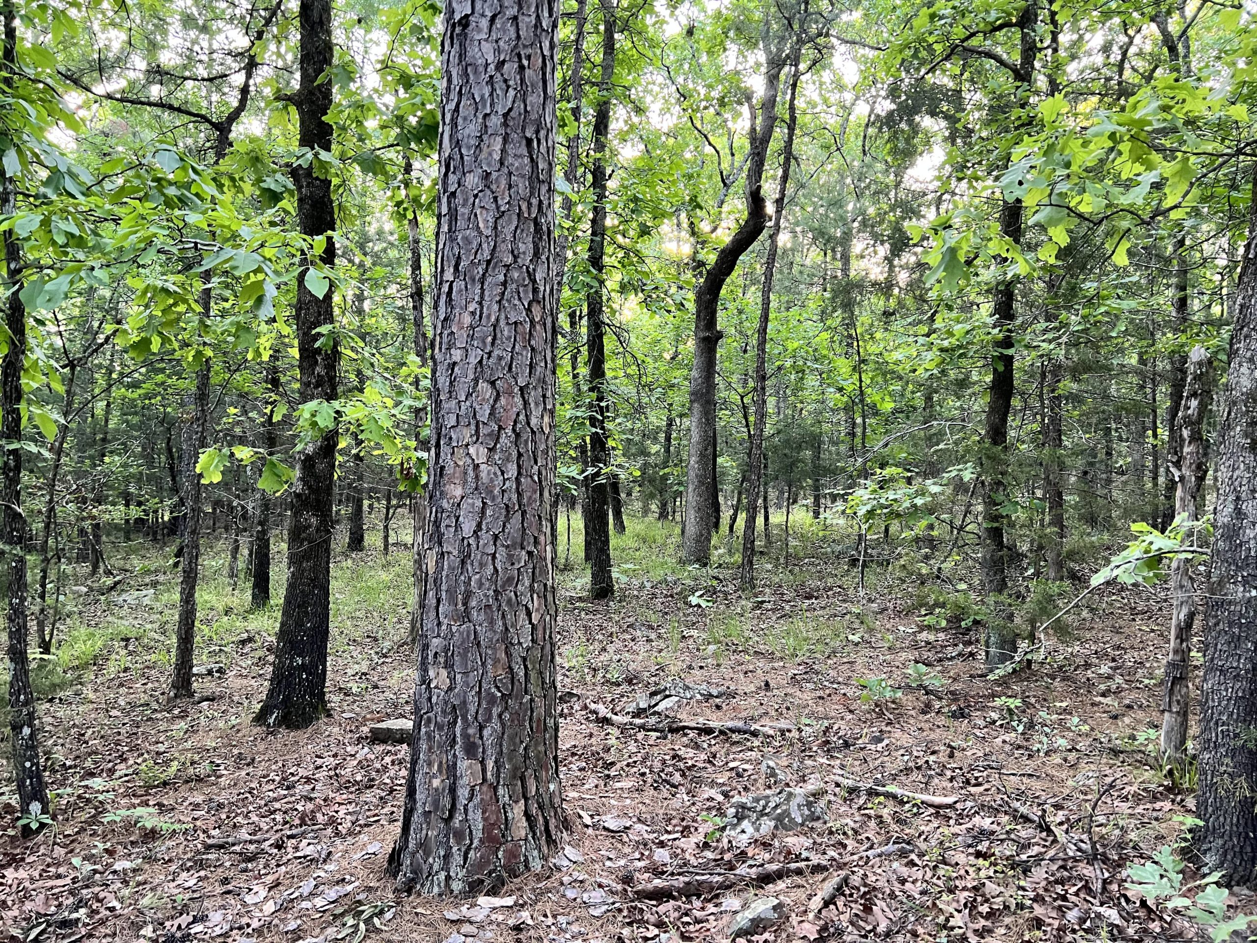
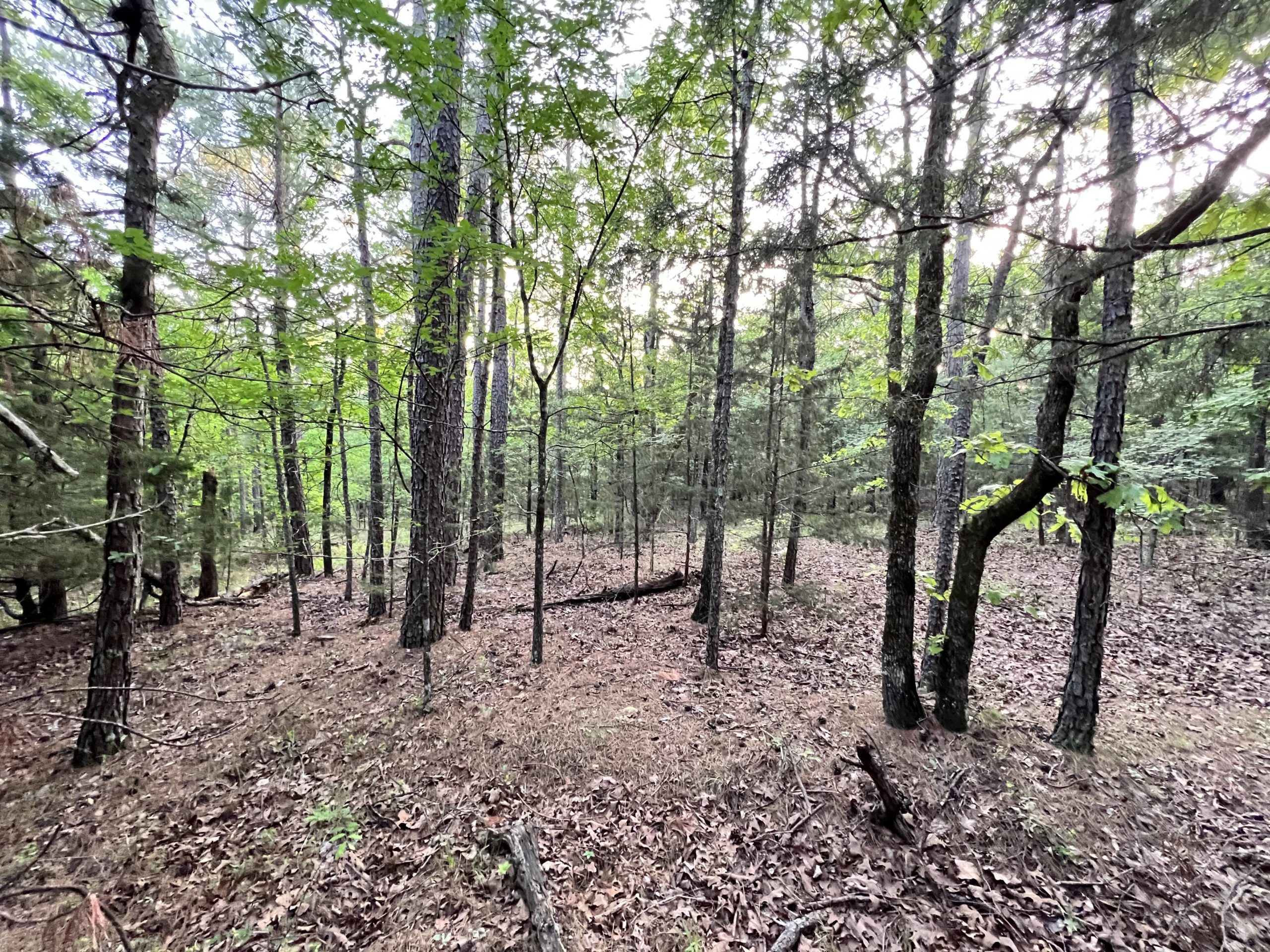
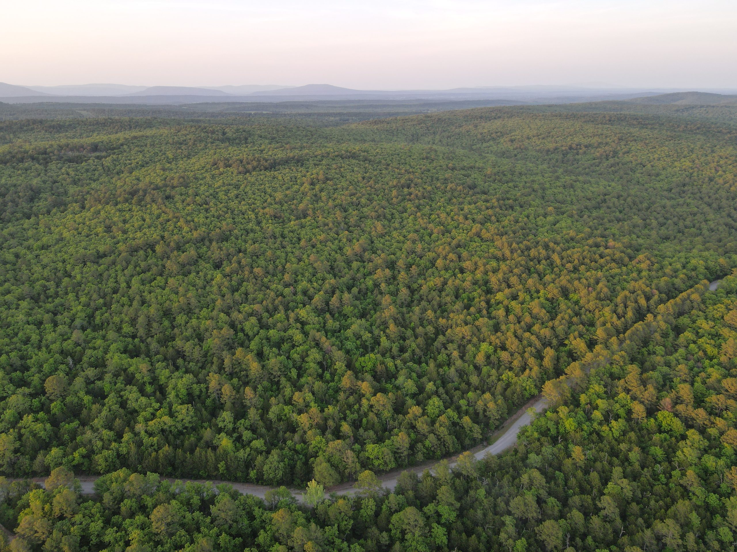
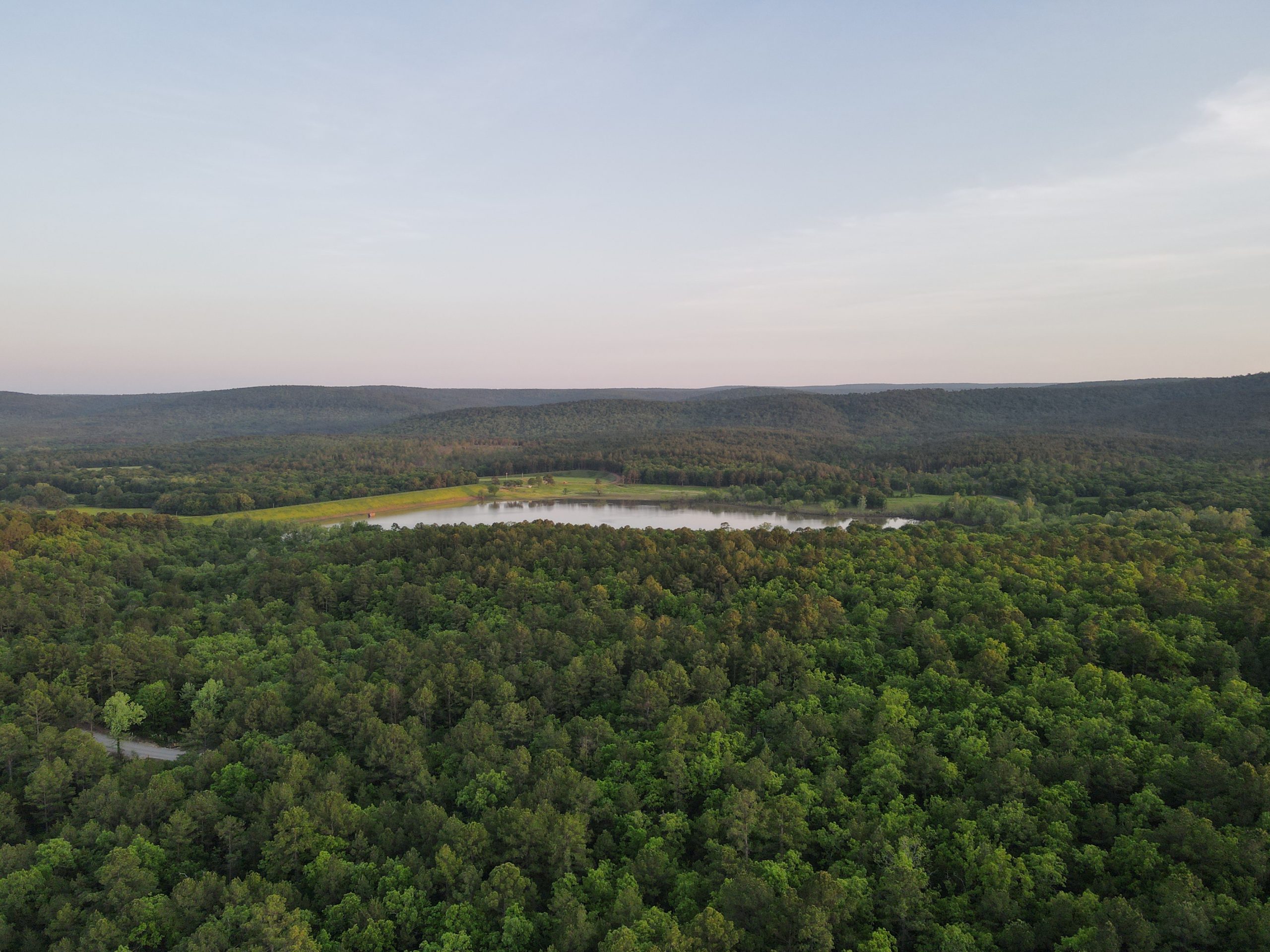
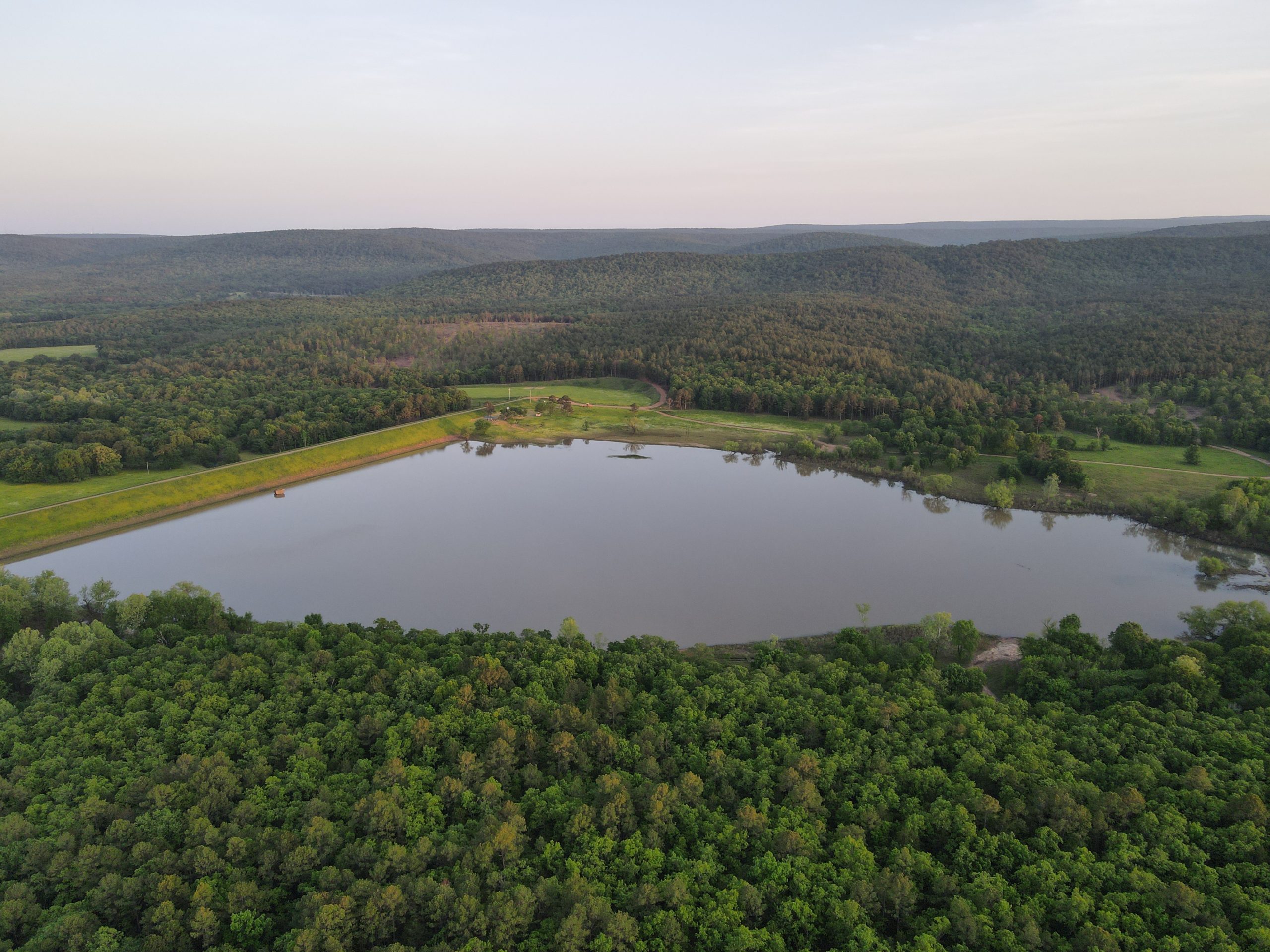
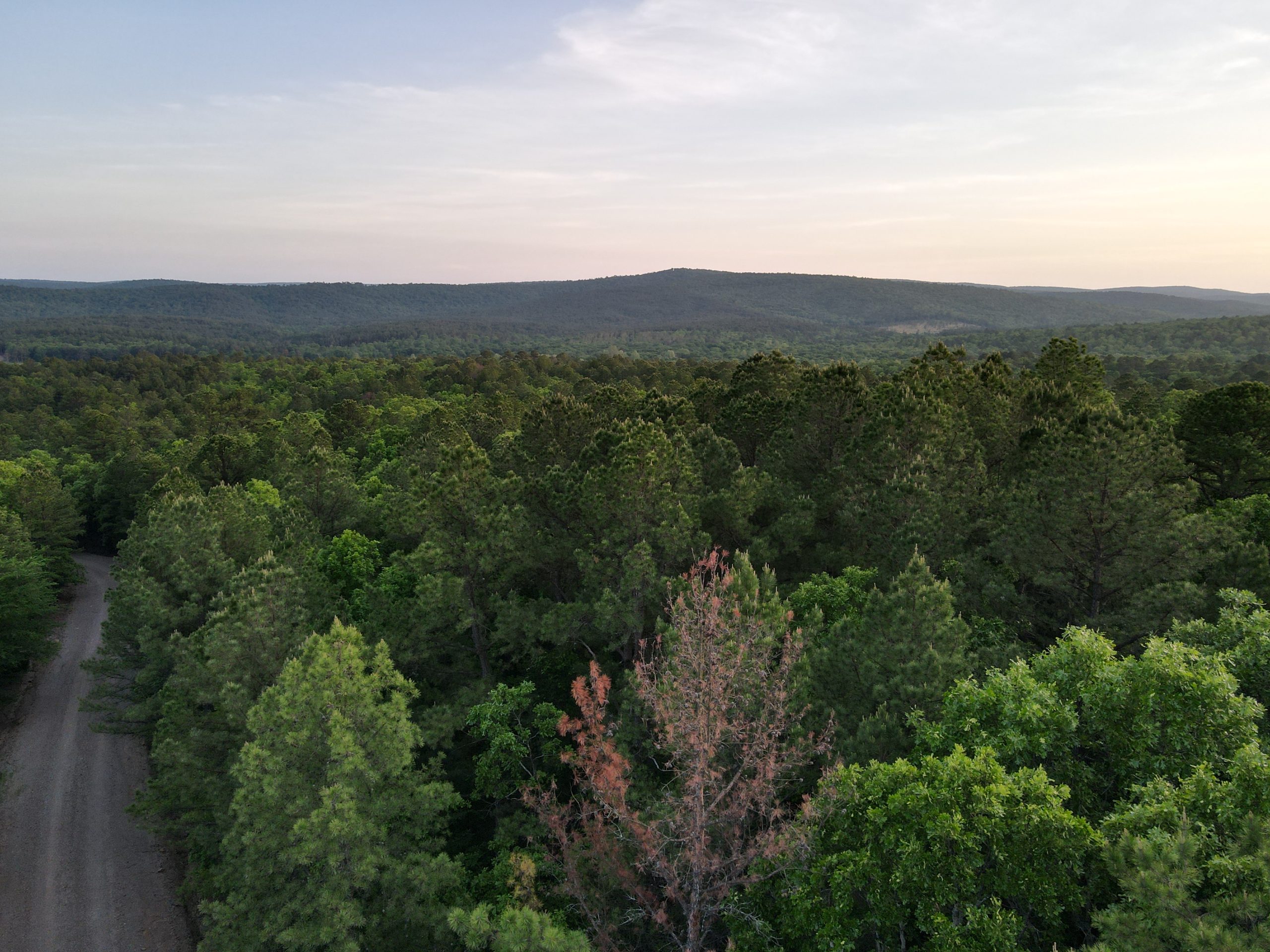
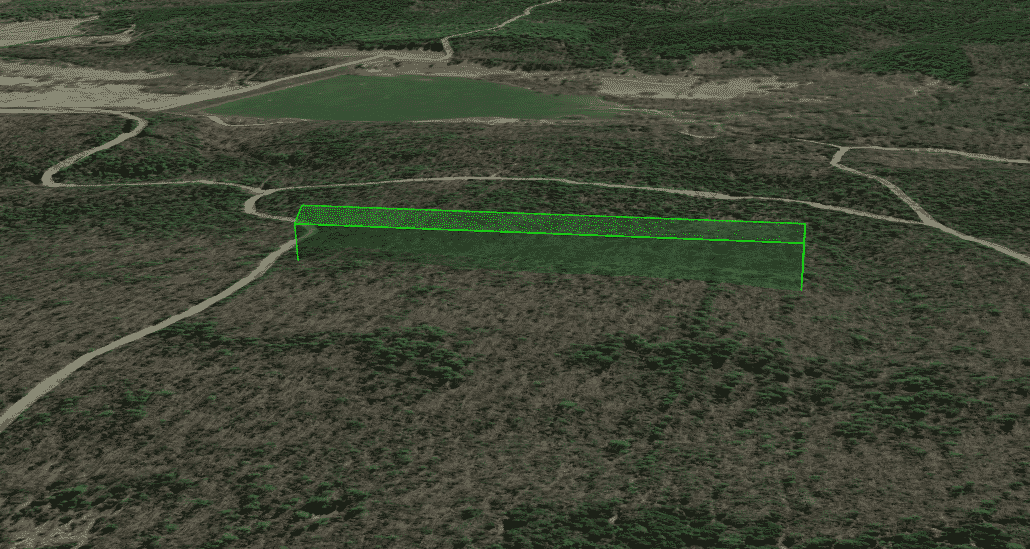
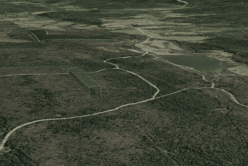
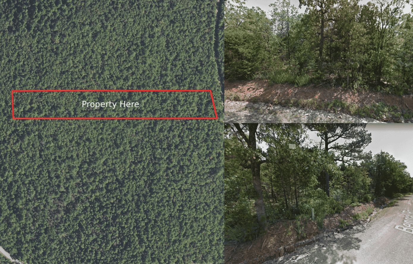
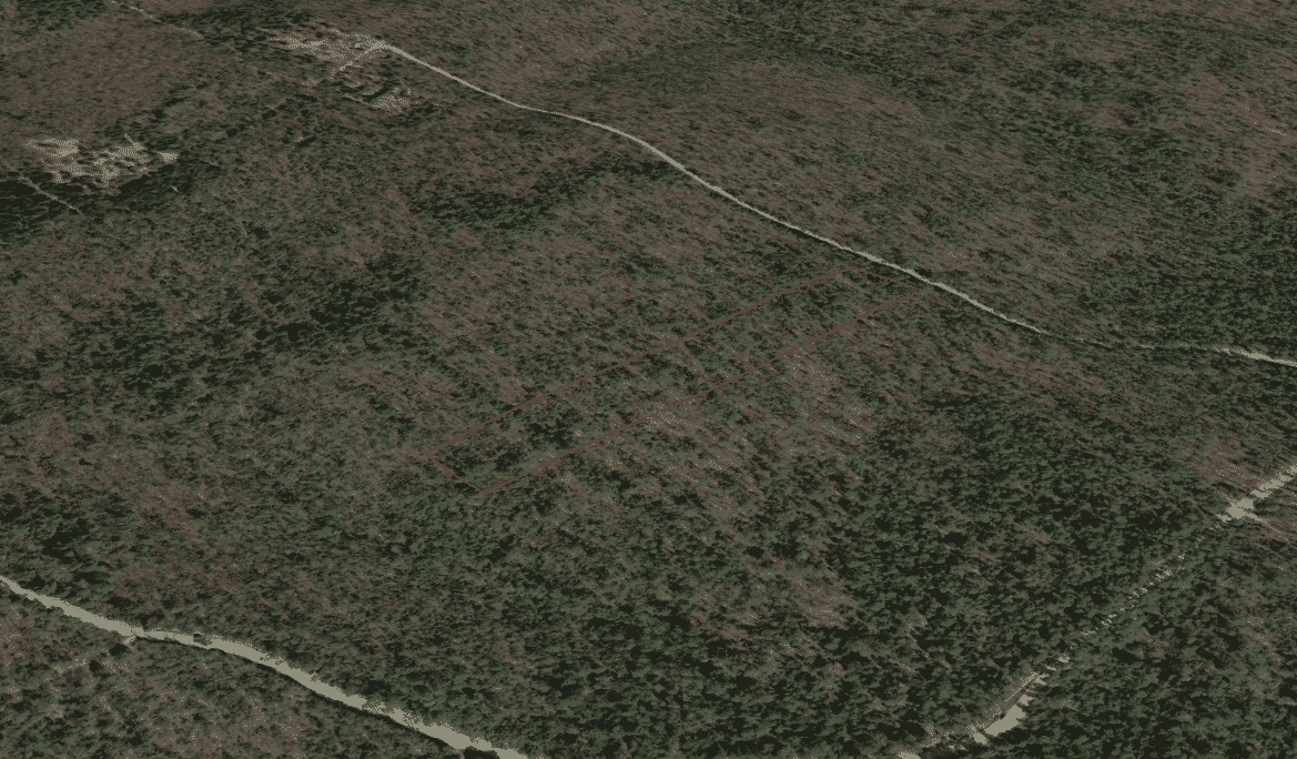
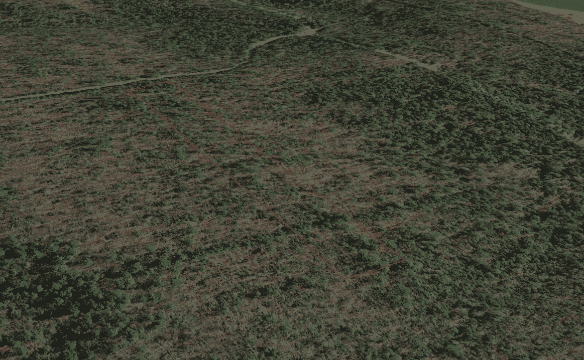
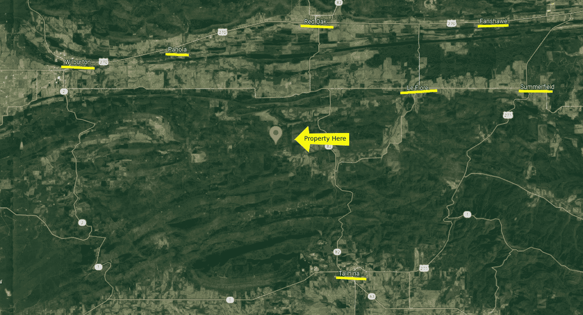
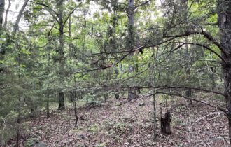
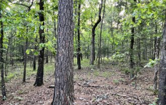
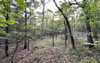
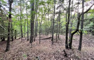
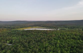
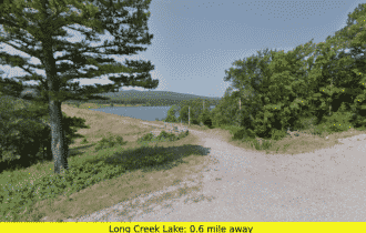
Scenic and untouched 2.1-acre property in Panola City, OK, in Latimer county. An unspoiled beauty with gorgeous views of nature. Less than a mile away from Long Creek lake, perfect for your future rest house.
What are you waiting for? Call or text us today at (405) 704-3291!
OWNER FINANCING TERMS:
– Price: $14,999
– Payment: $280.24
– Down: $1,499
– # Months: 60
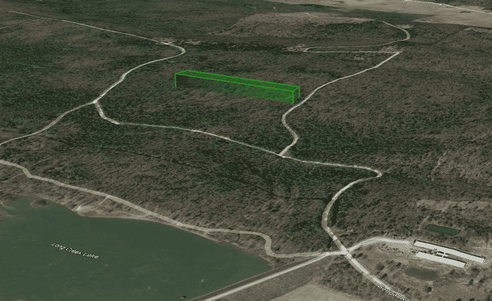
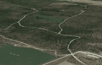
Click THIS LINK to view a 3D Interactive Map
Text or call us today at (405) 704-3291!
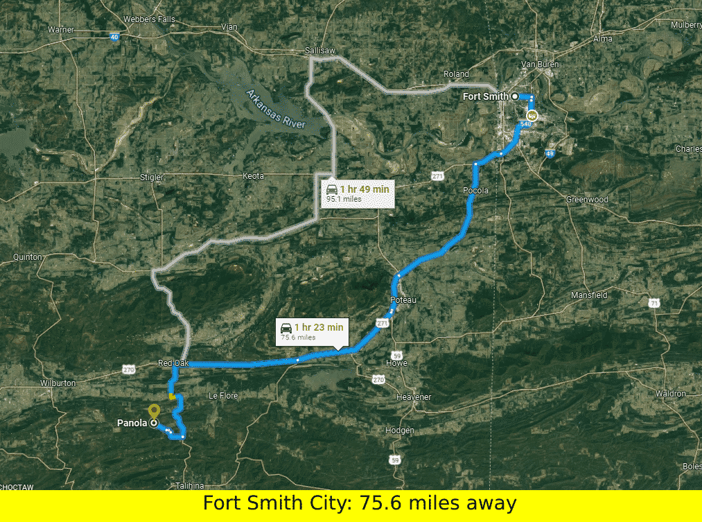
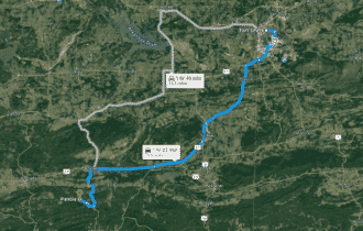
Tulsa, Oklahoma (2 hours 23 mins, 142 miles)
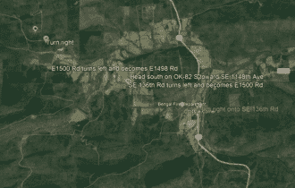
Wilburton, Oklahoma 74578 (27 mins, 15.3 miles)
Shell, 201 NE Market St, Red Oak, OK 74563 (24 mins, 15.2 miles)
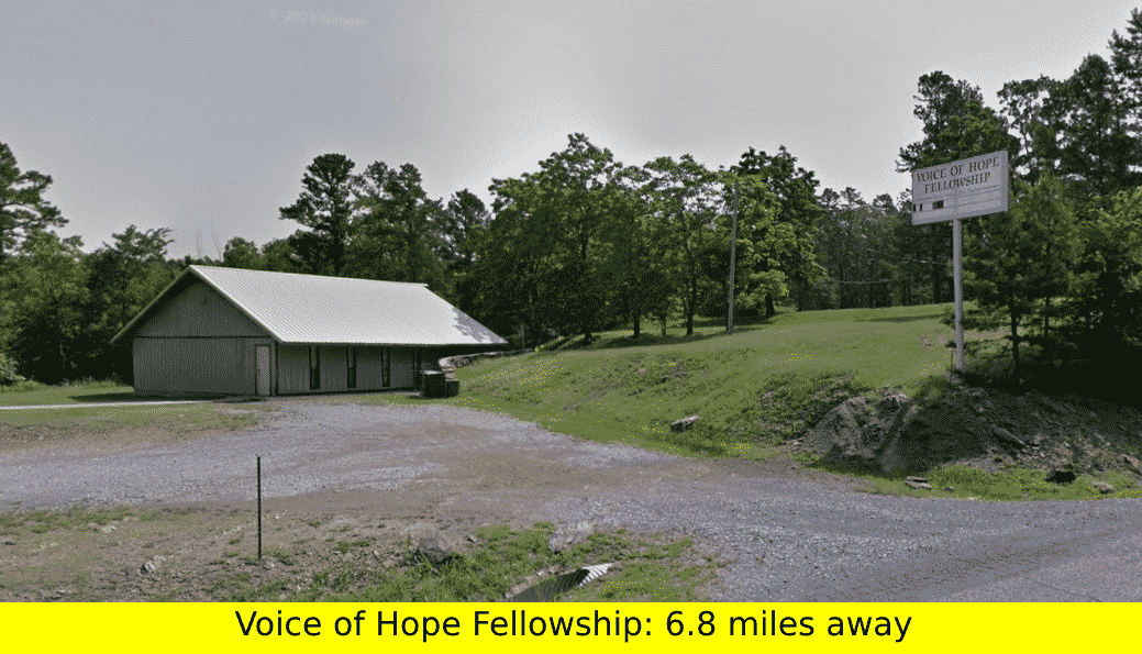
Talimena State Park, 50884 US-271, Talihina, OK 74571 (27 mins, 18.5 miles)
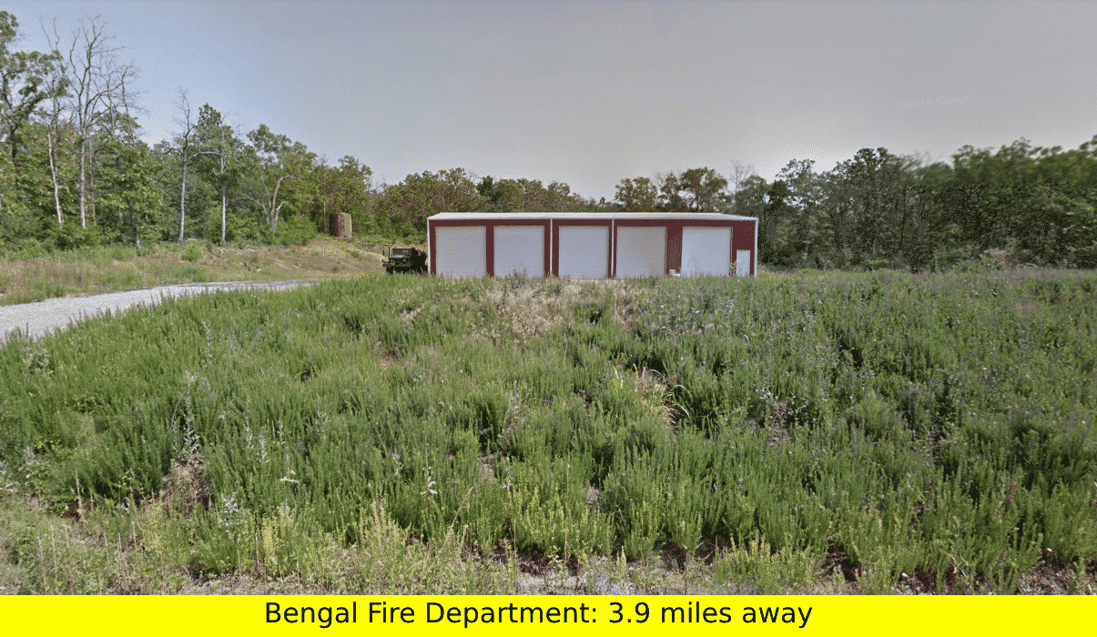
Robbers Cave State Park, 4628 NW 1027th Ave, Wilburton, OK 74578 (46 mins, 25.2 miles)
Sardis Lake, OK-2, Clayton, OK 74536 (37 mins, 29.8 miles)
Pricing Details:
– Cash Price: $14,999
– Owner Financing: $14,999
– $280.24 MONTHLY
– $1,499 DOWN
– 60 MONTHS
Property Details:
– Parcel #: 0125-00-000-017-0-000-00
– County: Latimer County, OK
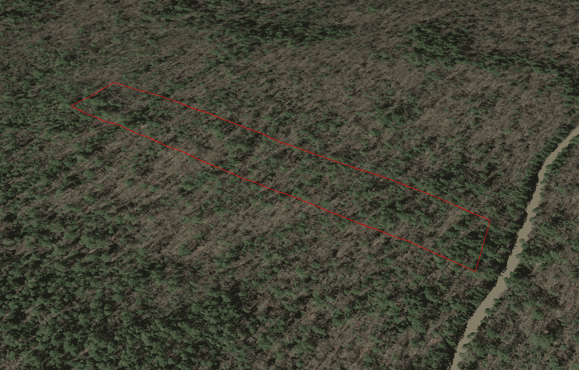
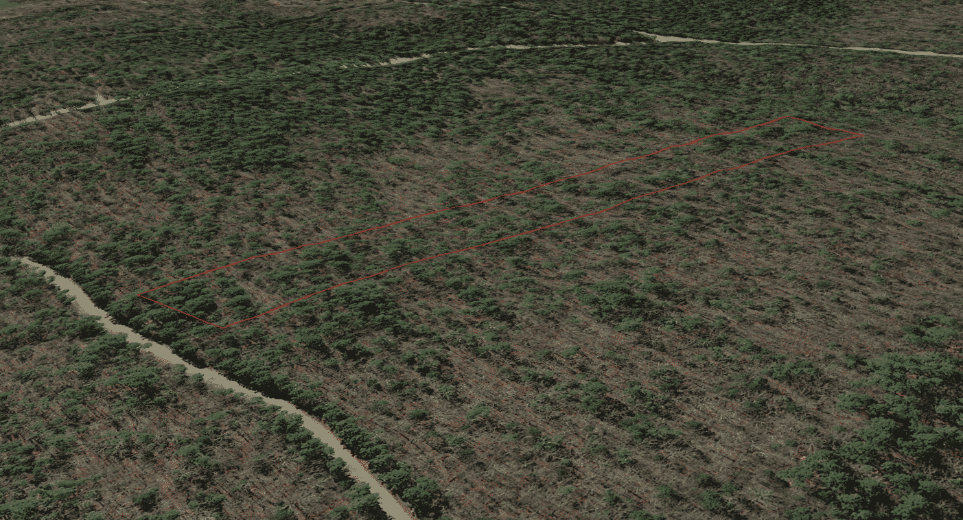
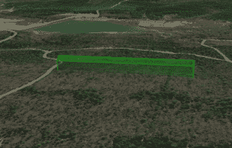
– Parcel Size: 2.1
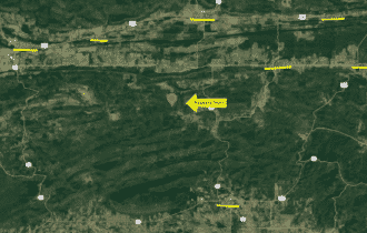
– Location: Panola, Oklahoma 74559
– Legal Description: 2.12A LOT 17,WS #1 592/123
– GPS Center Coordinates: 34.8551, -95.1188
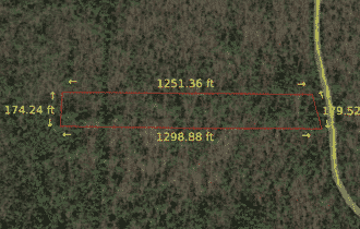
– Property Dimensions: 174.24 ft x 1298.88 ft x 179.52 ft x 1251.36 ft
– GPS Coordinates (4 Corners):
34.855306, -95.121047
34.854833, -95.121047
34.854833, -95.116717
34.855306, -95.116867
– Elevation: 826.71 Feet
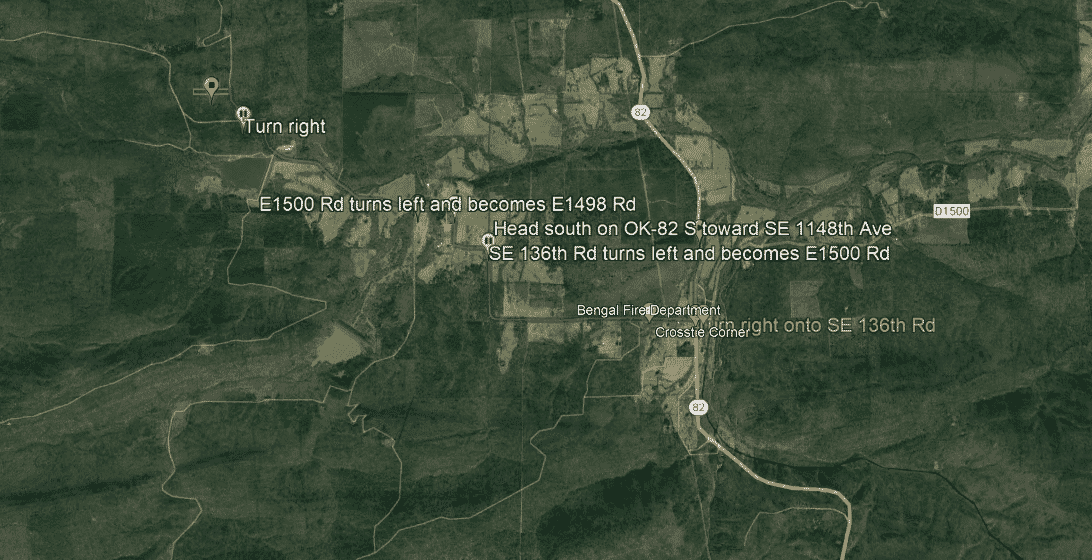
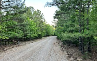
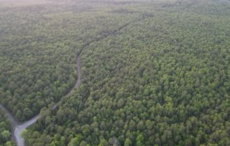
– Access to Property (Dirt or Paved): Dirt
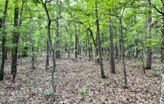
– Terrain: Wooded / Slope
– Zoning: No
– Time limit: There are no restrictions from the county.
– HOA: No
– Tax Amount: $20.00
– Flood zone: Unknown, no visible wetlands
– Water: Would need to dig a well
– Septic: Would need to install a septic system
– Electricity: Would have to contact Kiamichi Electric Co-Op (+19184652338) or Public Service Co of Oklahoma, AEP COOP, Etc
Property Information
Parcel Size
2.1
State
Oklahoma
County
Latimer
Nearest Cities
Panola
Parcel #
0125-00-000-017-0-000-00
Address
TBD Panola, Oklahoma 74559
Legal Description
2.12A LOT 17,WS #1 592/123
Features
Acres
2.1
Dimension
174.24 ft x 1298.88 ft x 179.52 ft x 1251.36 ft
County
Latimer
Access
Dirt Road
Power
Contact Kiamichi Electric Co-Op (+19184652338) or Public Service Co of Oklahoma, AEP COOP, Etc
Water
Well Water
Coordinates
34.8551, -95.1188
Zoning
Unknown
Elevation
826.71 Feet
Maps
For more information, call or text (405) 704-3291