


Great 5.96 acres Lot For Sale in Latimer County, OK!
Payment Options
Description
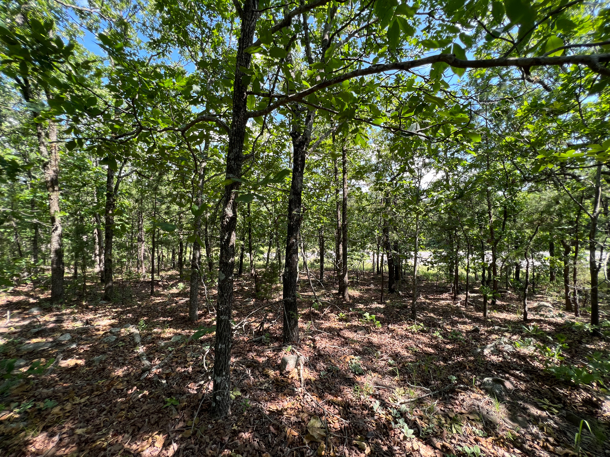
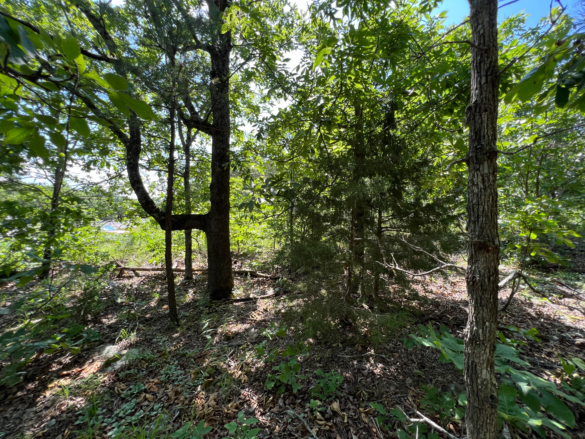
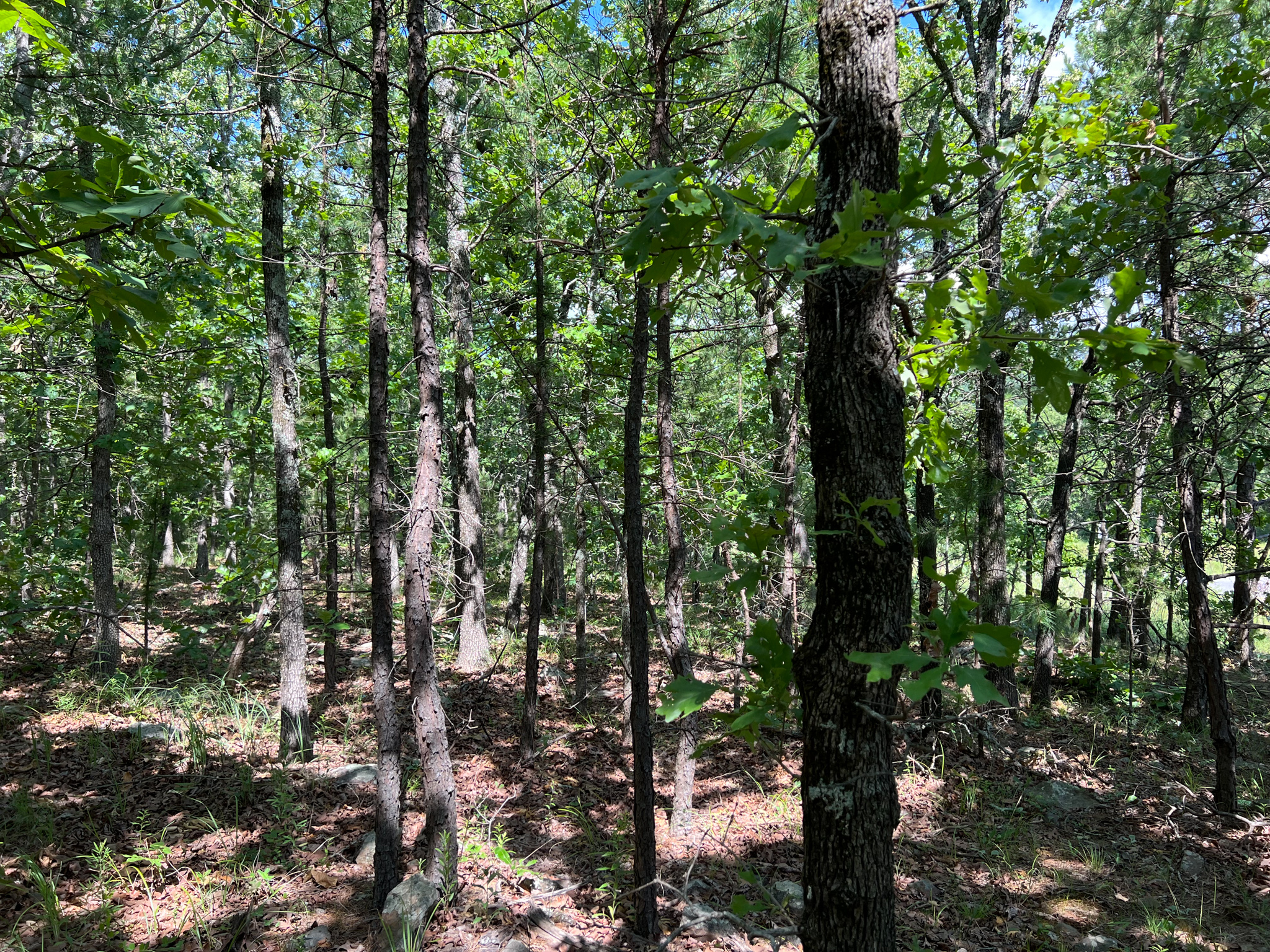
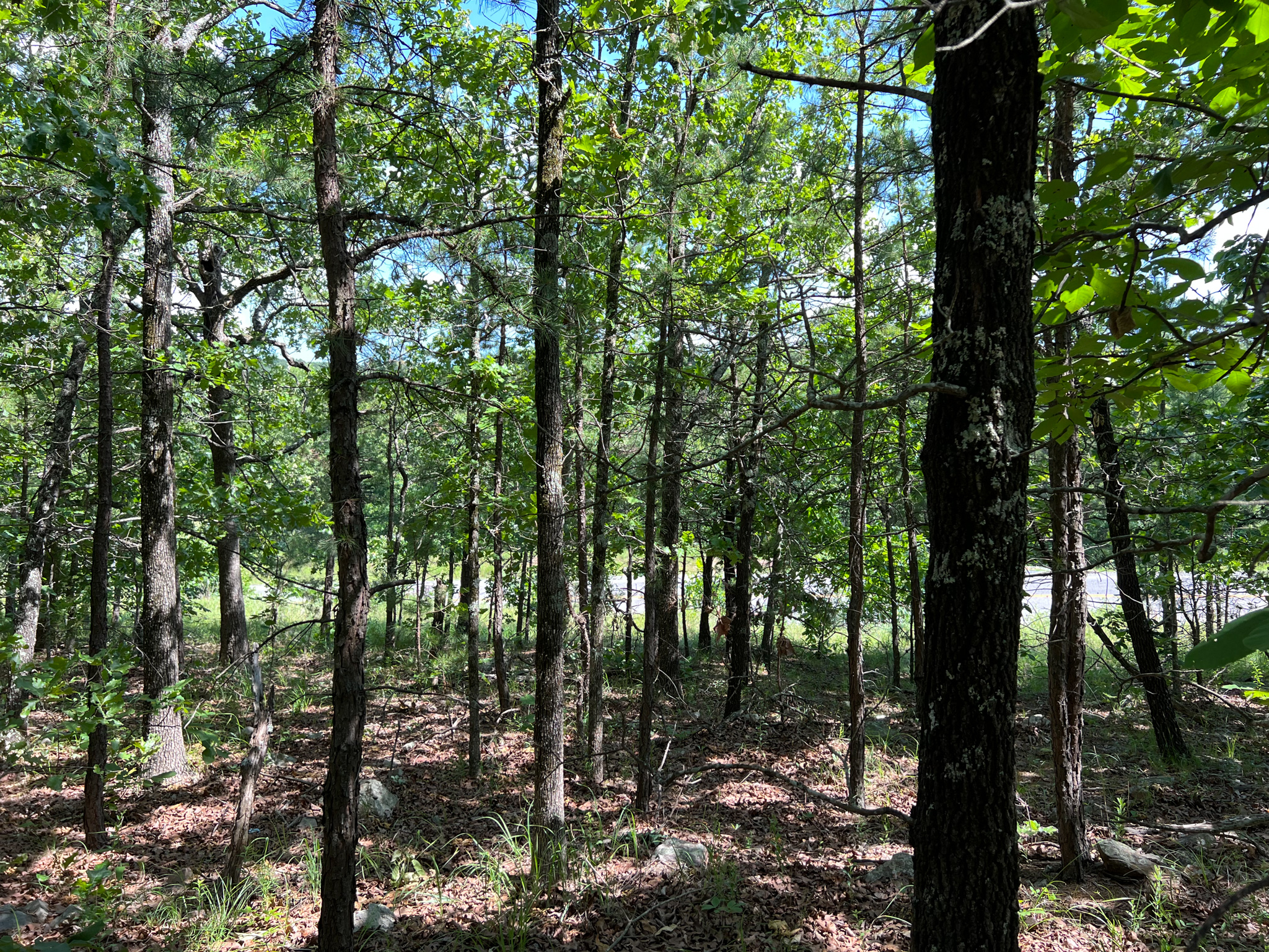
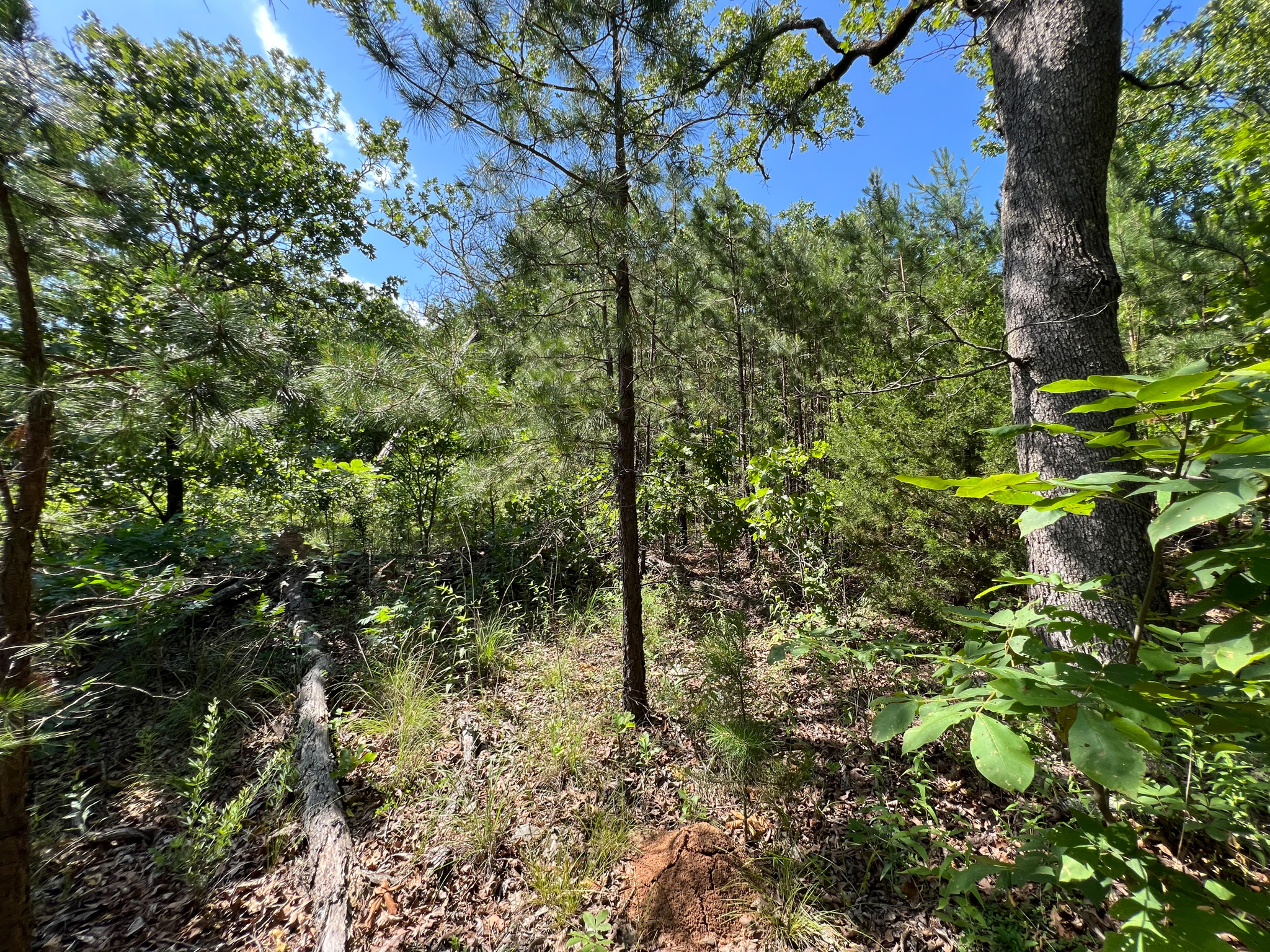
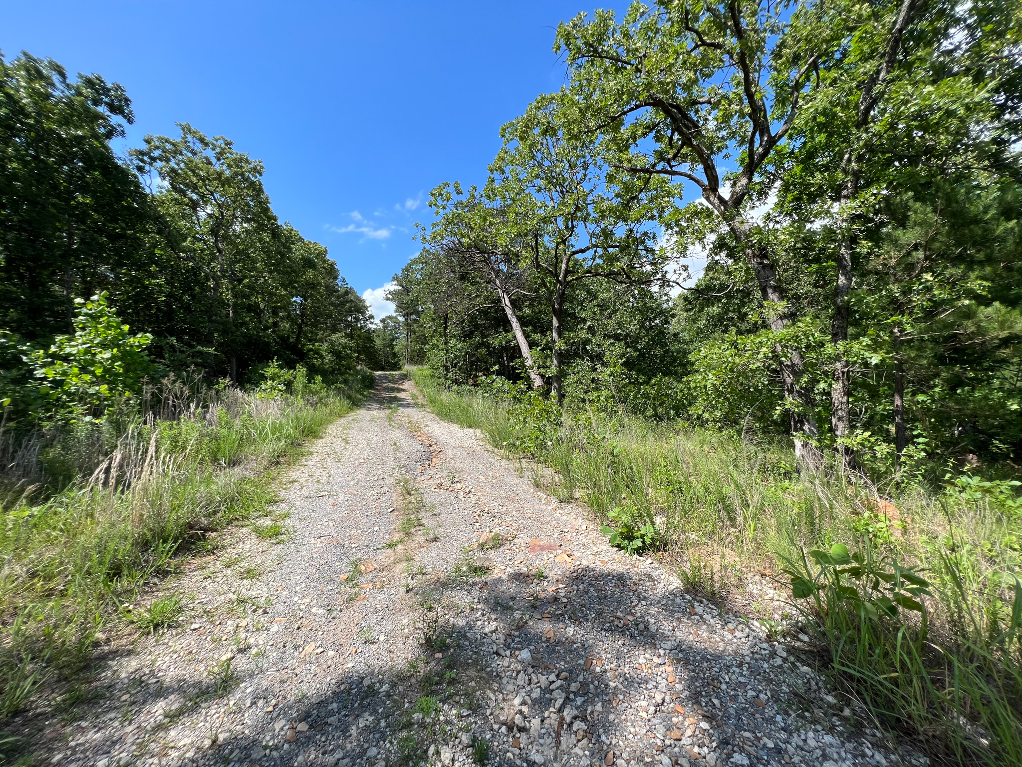
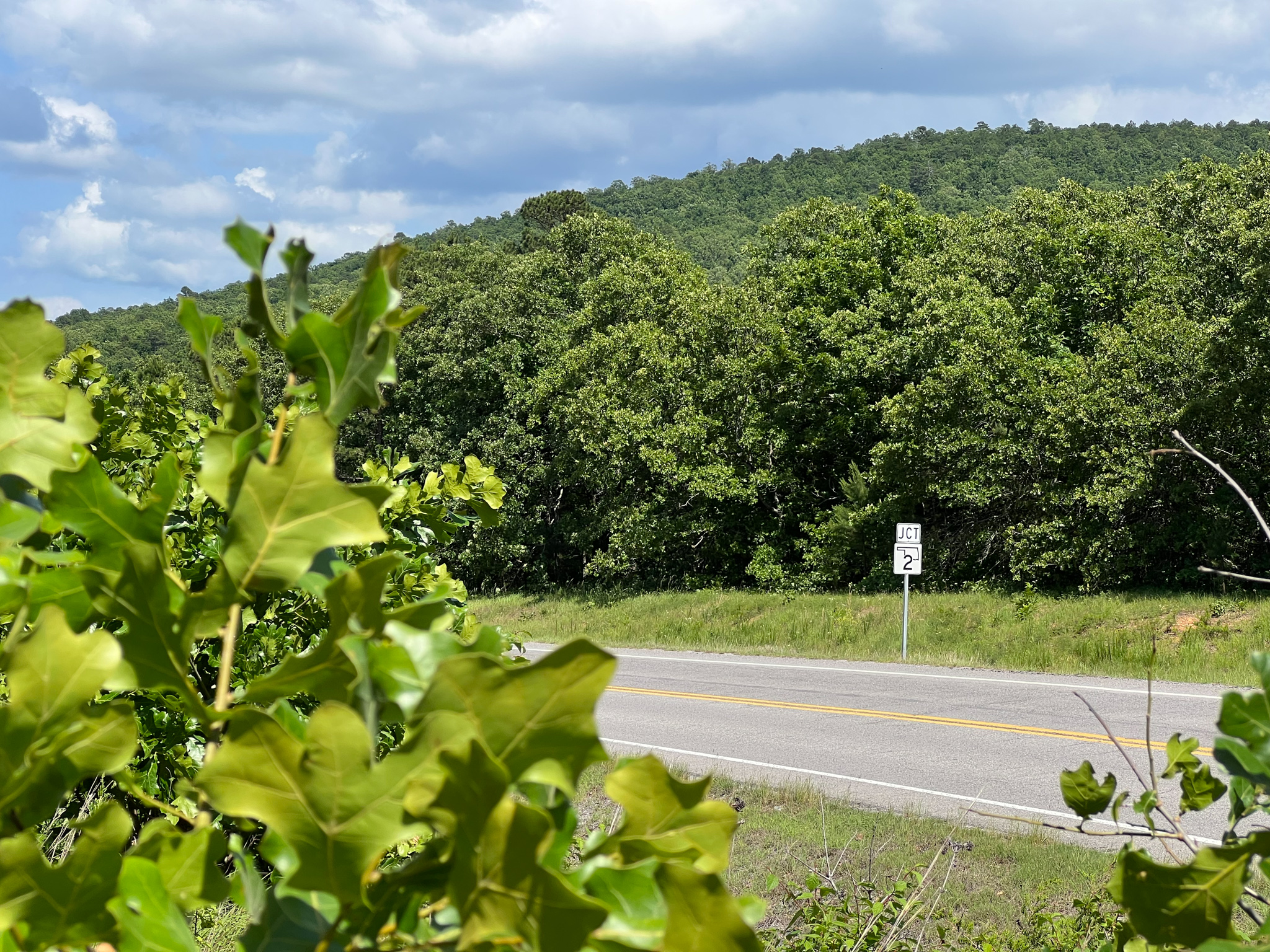
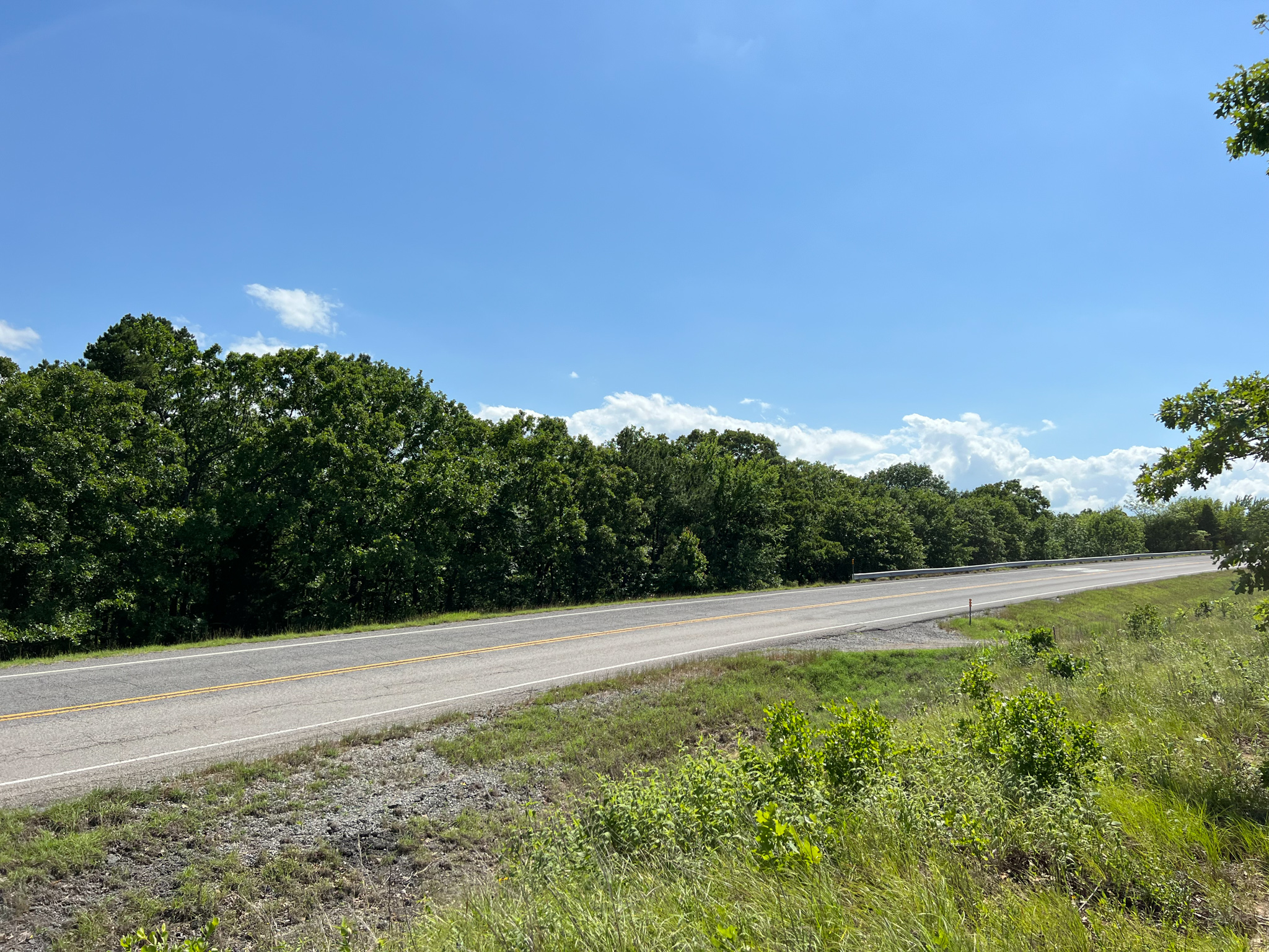
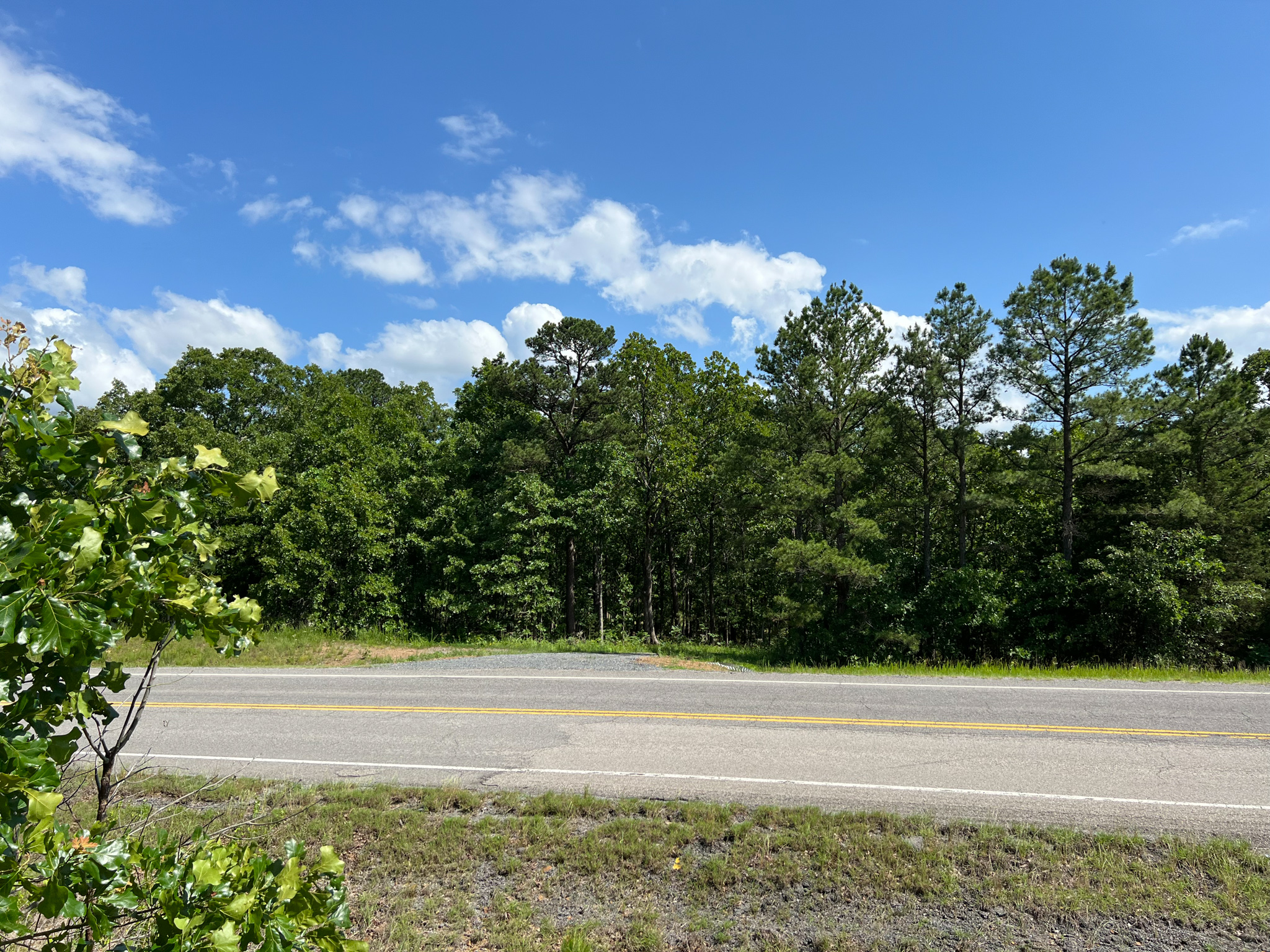
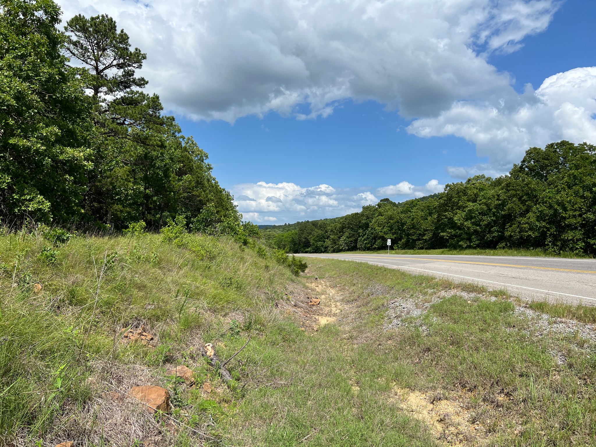
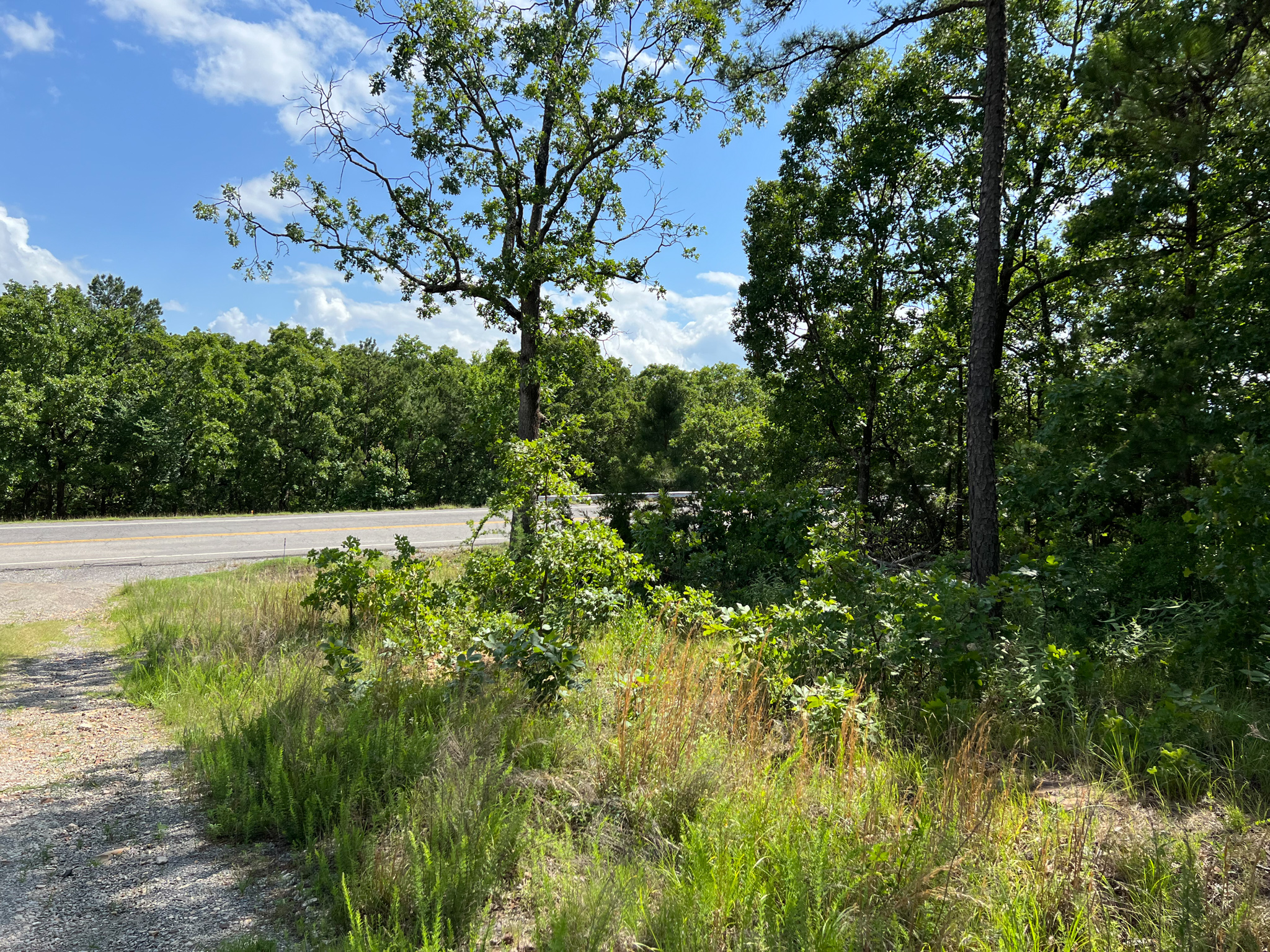
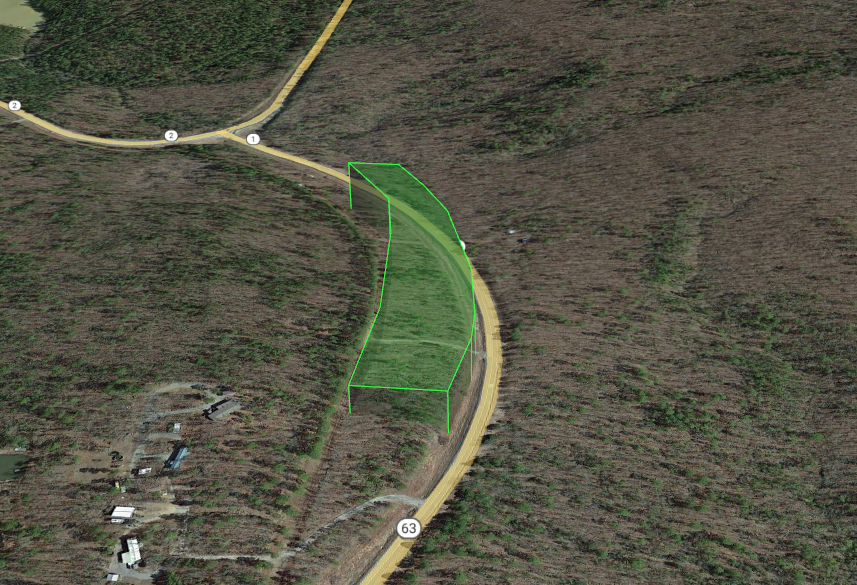
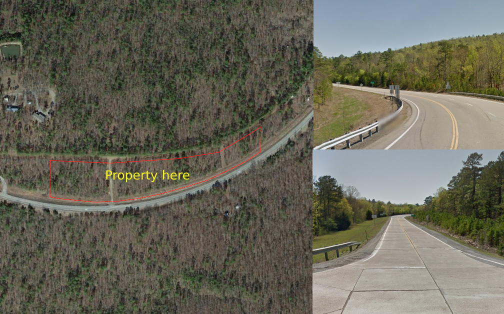
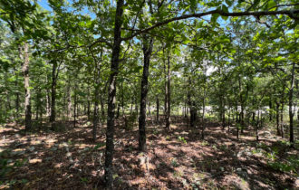
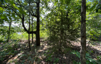
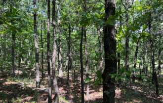
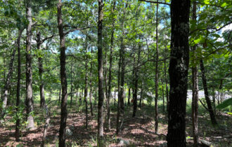
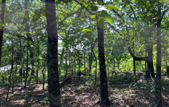
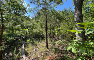
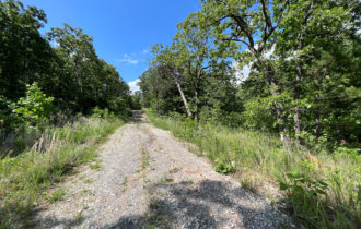
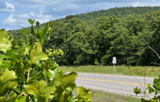
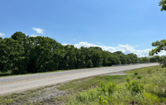
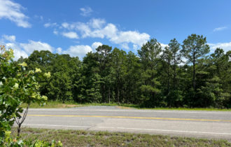
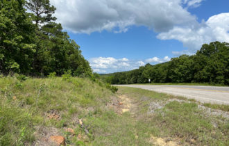
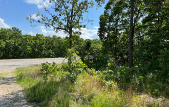
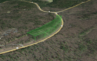
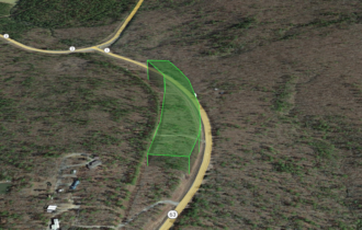
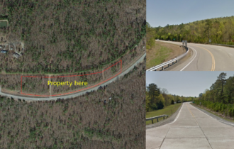
This 5.96 acres of land is up on the ridge with a great view. The land has great recreation, hunt, and relaxation possibilities and paved road access. This beautiful land offers rural living at its finest with just the right amount of trees and foliage. It’s the perfect place to build that permanent home or weekend getaway spot. What are you waiting for? Reach out today before someone else takes it!
Call or text us at (405) 704-3291!
OWNER FINANCING TERMS:
– Price: $21,999
– Payment: $411.02
– Down: $2,199
– # Months: 60
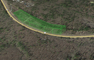
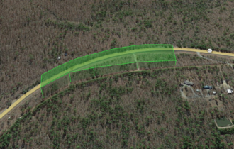
Click THIS LINK to view a 3D Interactive Map
Text or call us today at (405) 704-3291!
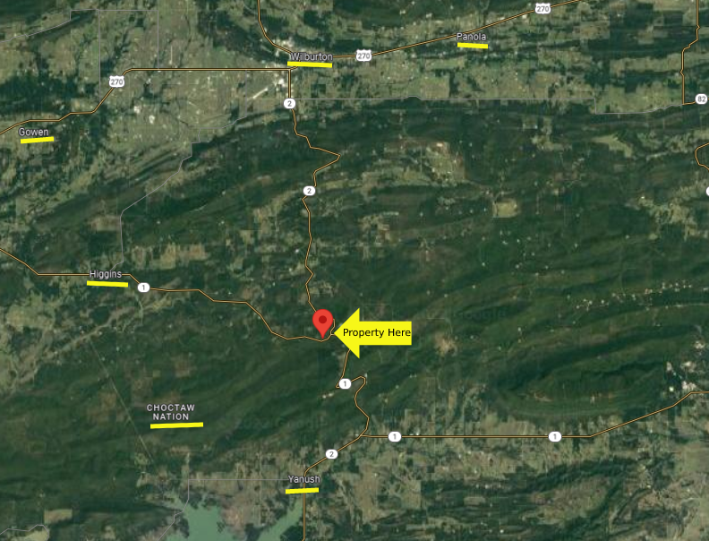
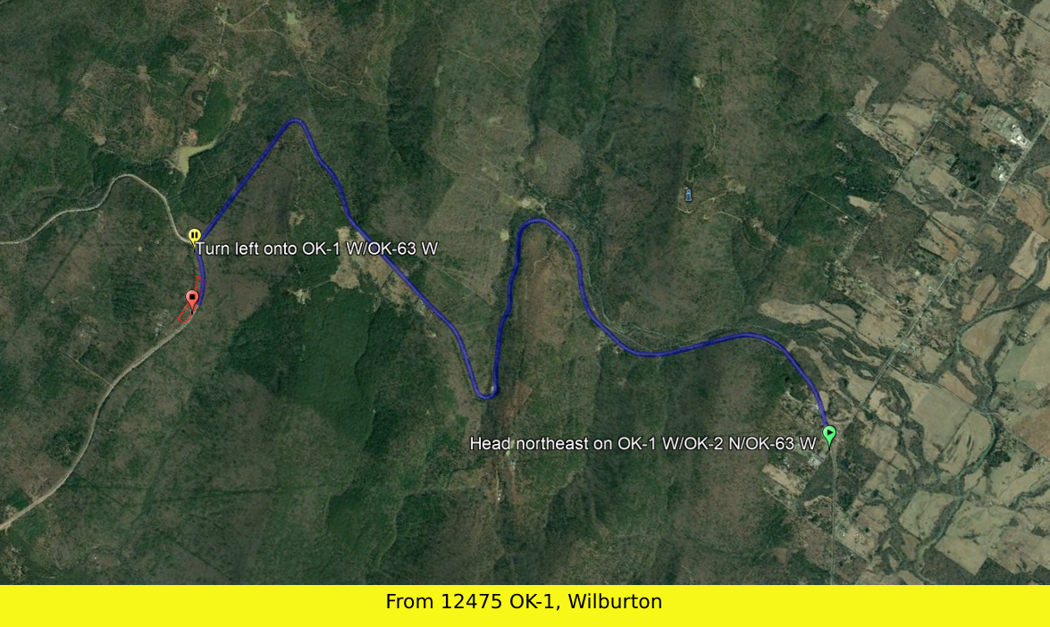
DRIVING DIRECTIONS
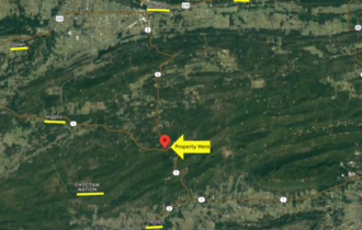
From: Tuskahoma, Oklahoma 74536
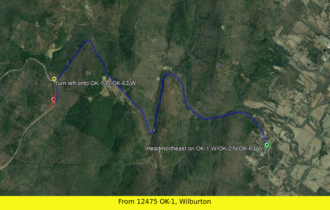
Head north on Tuskahoma Rd toward Co Rd 1652 (0.3 mi)
Turn left at the 2nd cross street onto US-271 S (2.5 mi)
Keep right (0.3 mi)
Slight right onto OK-2 N (14.7 mi)
Turn left onto OK-1 W/OK-63 W
The destination will be on the right
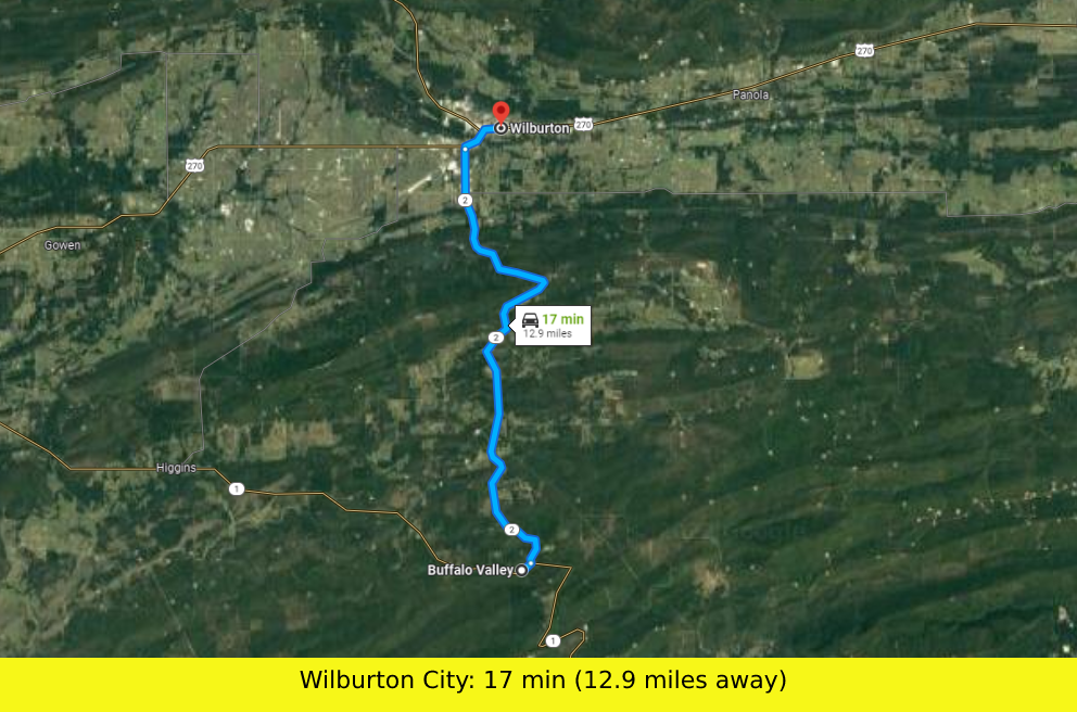
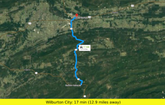
Closest major city: Wilburton City- (12.9 miles away)
Nearby Attractions:
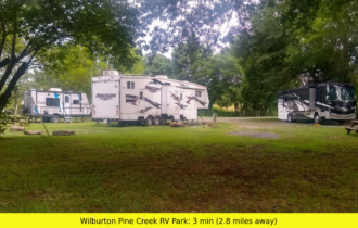
Wilburton Pine Creek RV (2.8 miles away)
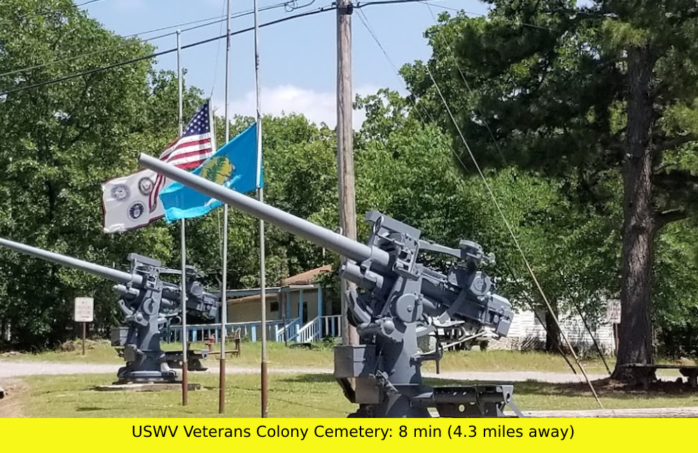
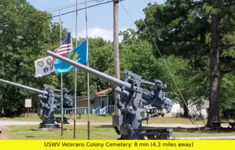
USWV Veterans Colony Cemetery (4.3 miles away)
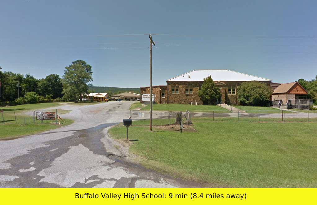
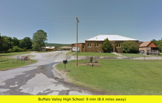
Buffalo Valley High School (8.4 miles away)
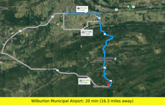
Wilburton Municipal Airport (16.3 miles away)
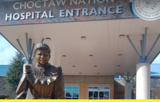
Choctaw Natin Healthcare Center (18.4 miles away)
Pricing Details:
– Cash Price: $21,999
– Owner Financing: $21,999
– $411.02 MONTHLY
– $2,199 DOWN
– 60 MONTHS
Property Details:
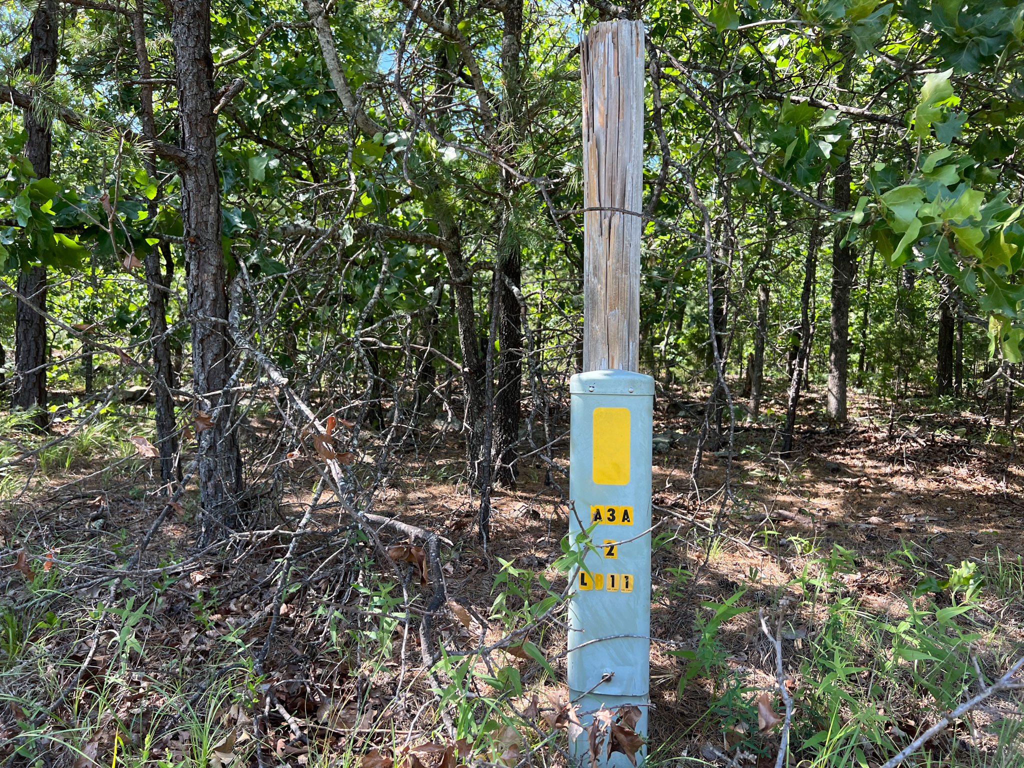
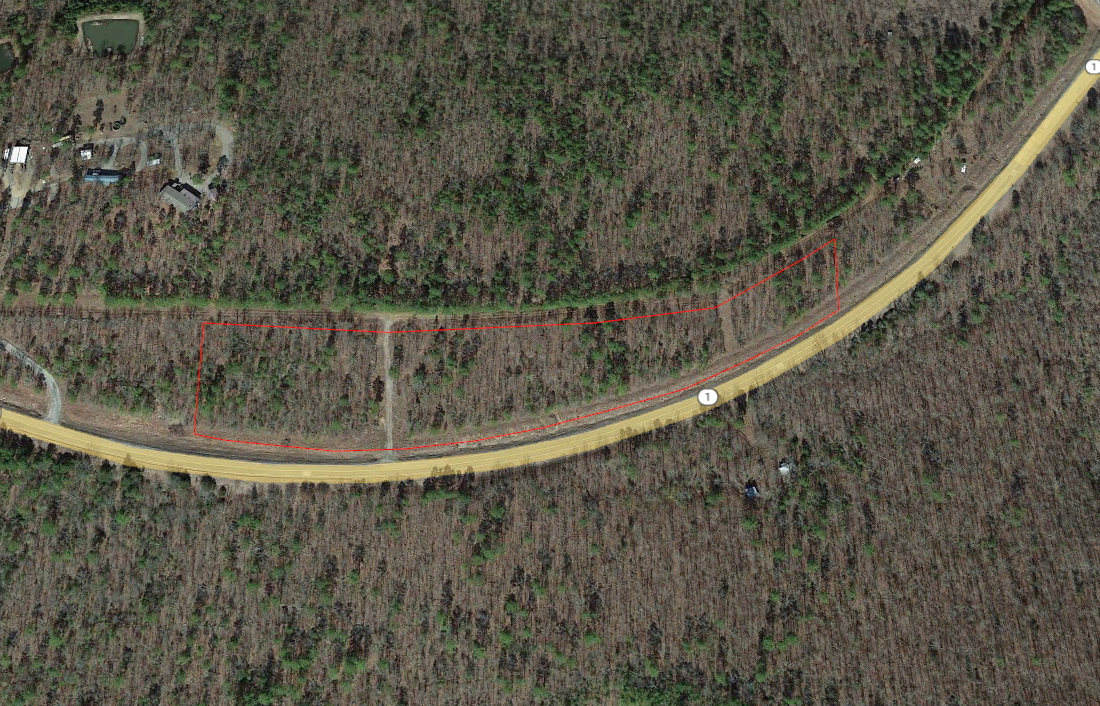
– Parcel #: 0000-34-04N-19E-2-006-00 ( 3404N19E200600 )
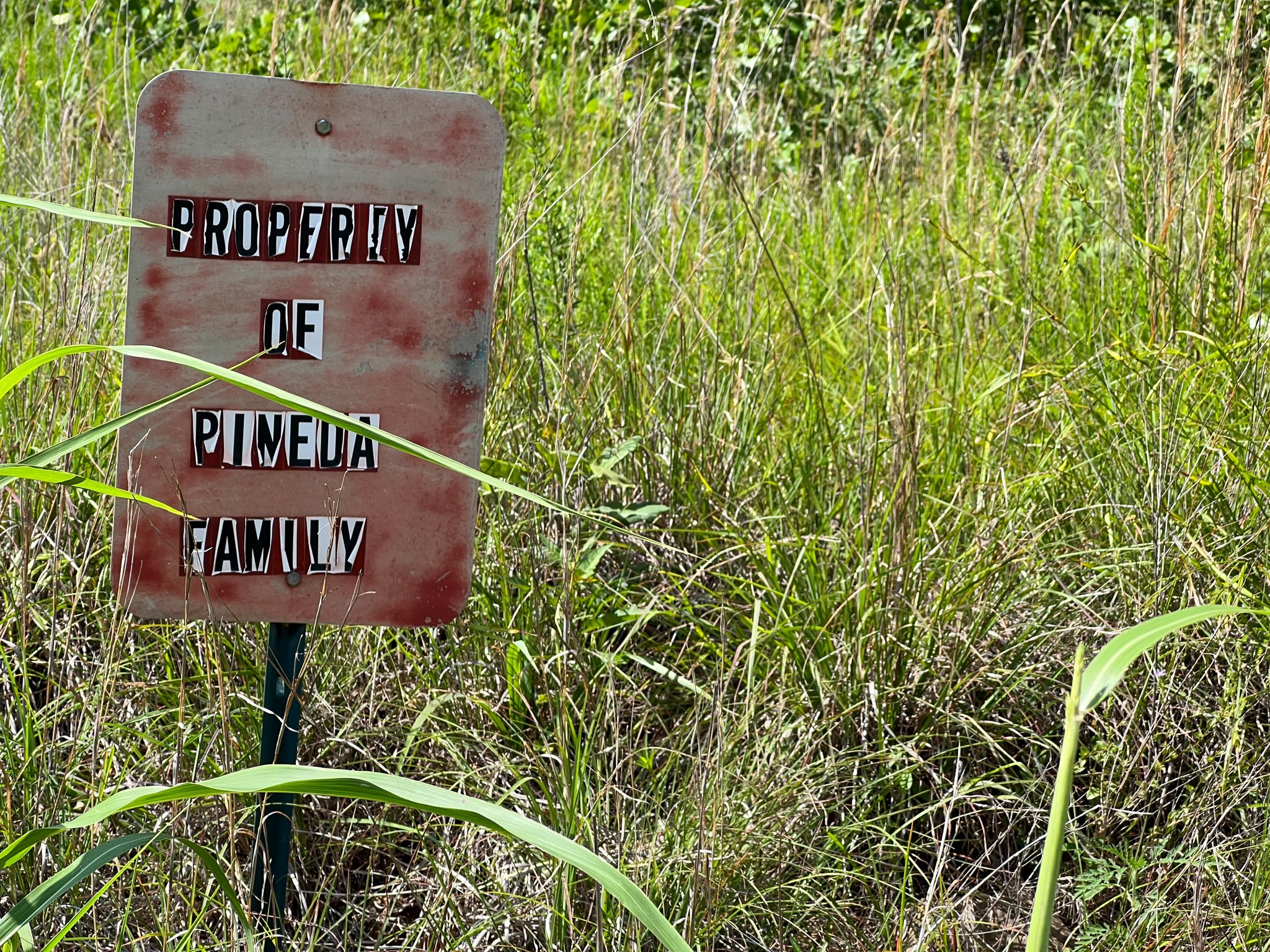
– County: Latimer County, OK
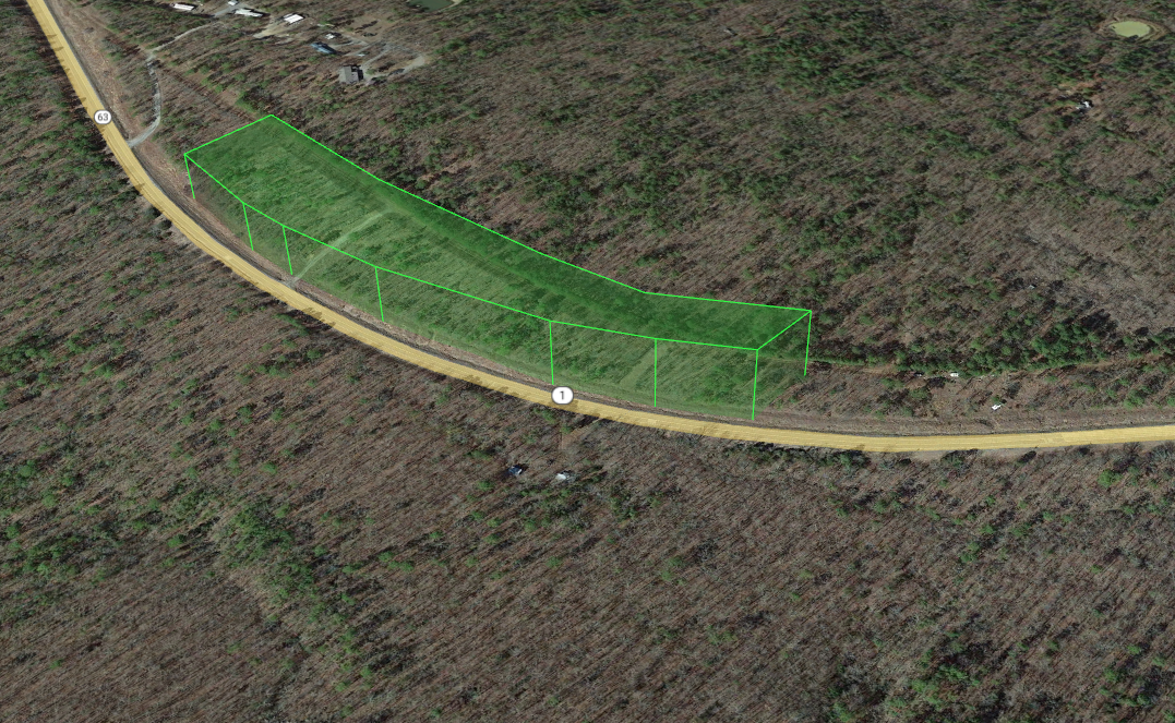
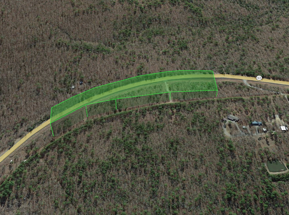
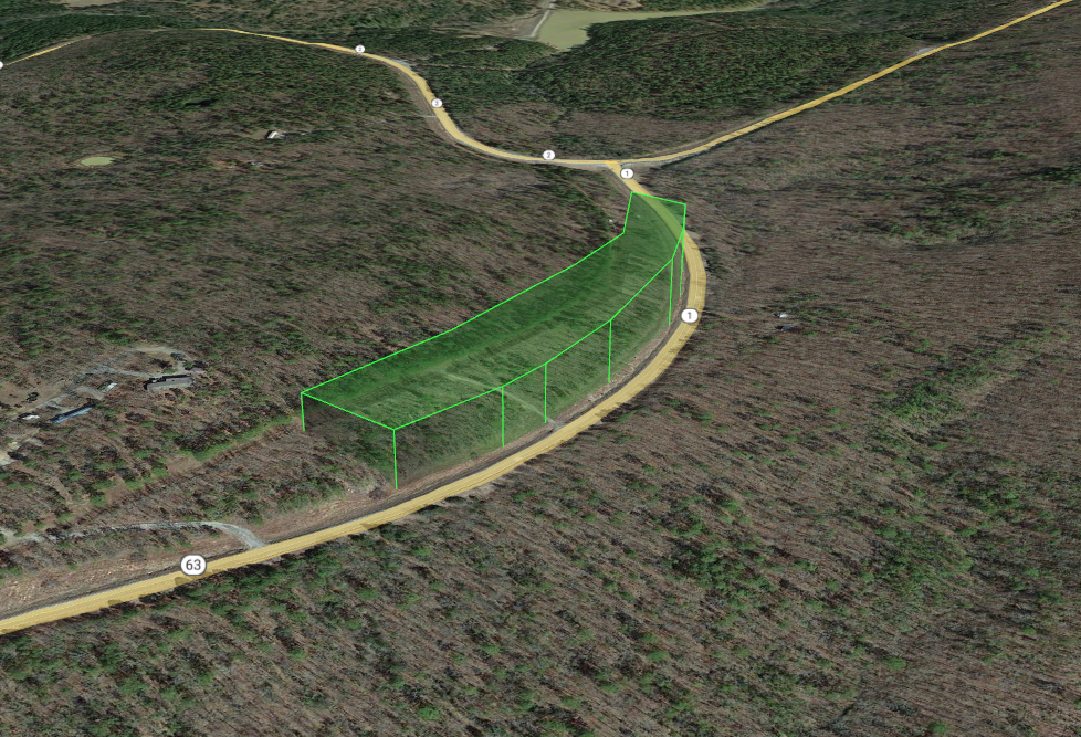
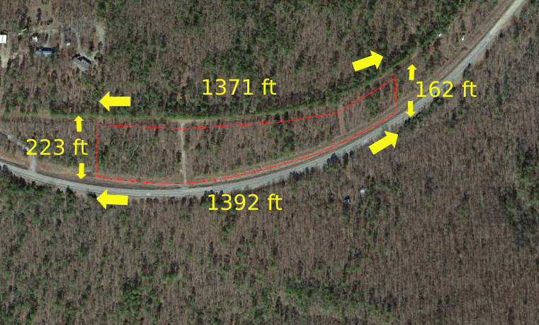
– Parcel Size: 5.96
– Location: Tuskahoma, OK, USA 74574
– Legal Description: PT NW,BEG NW COR S 0 01 21.3 W 955.53’POB,S 89 25 35.8 E 467.7 3’CRV NON-TAN G RAD 1450.40′, CNTRL ANGLE 35 54 58 CHORD 894 .38′,72 40 55.6 E ALG CRV 909.2 0′,S 0 03 47.6 W 138.74’NON-TNG CRV RAD 1839.86’CNTRL ANGL E 17 43 13.5 CHORD 566.77’BRNG 62 0
– GPS Center Coordinates: 34.779222, -95.302694
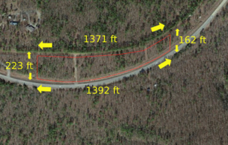
– Property Dimensions: 1371 ft – 223 ft – 1392 ft – 162 ft
– GPS Coordinates (4 Corners):
34°46’46.22″N 95°18’16.86″W
34°46’44.02″N 95°18’16.90″W
34°46’47.08″N 95°18’1.04″W
34°46’48.63″N 95°18’1.06″W
– Elevation: 1013.8 feet
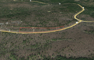
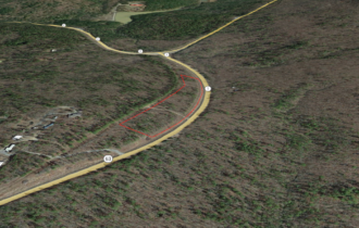
– Access to Property (Dirt or Paved): Dirt
– Terrain: Forest
– Zoning: Rural Residential
– Time limit: There are no restrictions from the county.
– HOA: No
– Tax Amount: $86.00
– Flood zone: Not in the Floodzone
– Water: Not connected
– Septic: Would need to install a septic system
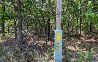
– Electricity: Would have to contact Kiamichi Electric Co-Op (+19184652338) or Public Service Co of Oklahoma, AEP COOP, Etc
– RVs, mobile homes, tiny houses, or small cabins are allowed on the property
– FEMA Flood Map Information: https://msc.fema.gov/portal/home
– Latimer County Website Information: https://www.countyzoning.org/ok-latimer-county/
Disclaimer: The buyer is responsible for verifying all information with the County as to what can and can’t be done with the property. The buyer will need to work with the County to obtain the proper permits if needed. The buyer will also need to confirm the availability of any utilities needed or serviced on the property. The seller makes no warranties or representations about the land, its condition, or what can be built on the property.
Property Information
Parcel Size
5.96
State
Oklahoma
County
Latimer
Nearest Cities
Tuskahoma
Parcel #
0000-34-04N-19E-2-006-00
Address
TBD Tuskahoma, Oklahoma 74574
Legal Description
PT NW,BEG NW COR S 0 01 21.3 W 955.53’POB,S 89 25 35.8 E 467.7 3’CRV NON-TAN G RAD 1450.40′, CNTRL ANGLE 35 54 58 CHORD 894 .38′,72 40 55.6 E ALG CRV 909.2 0′,S 0 03 47.6 W 138.74’NON-TNG CRV RAD 1839.86’CNTRL ANGL E 17 43 13.5 CHORD 566.77’BRNG 62 0
Features
Acres
5.96
Dimension
1371 ft – 223 ft – 1392 ft – 162 ft
County
Latimer
Access
Dirt Road
Power
Kiamichi Electric Co-Op (+19184652338) or Public Service Co of Oklahoma, AEP COOP, Etc
Coordinates
34.779222, -95.302694
Zoning
Rural Residential
Elevation
1013.8 feet
Maps
For more information, call or text (405) 704-3291